File:BNSF Snake River Drawbridge.jpg
Jump to navigation
Jump to search

Size of this preview: 800 × 600 pixels. Other resolutions: 320 × 240 pixels | 640 × 480 pixels | 1,024 × 768 pixels | 1,280 × 960 pixels | 2,560 × 1,920 pixels | 3,264 × 2,448 pixels.
Original file (3,264 × 2,448 pixels, file size: 1.89 MB, MIME type: image/jpeg)
Captions
Captions
Add a one-line explanation of what this file represents
Summary
[edit]
| Description |
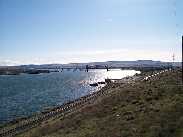
English: BNSF Railway drawbridge crossing the Snake River. The confluence of the Snake and Columbia rivers can be seen in the background. |
| Date | |
| Source | Own work |
| Author | Allen4names |
| Camera location | | View this and other nearby images on: OpenStreetMap |
|---|
Licensing
[edit]
I, the copyright holder of this work, hereby publish it under the following licenses:

|
Permission is granted to copy, distribute and/or modify this document under the terms of the GNU Free Documentation License, Version 1.2 or any later version published by the Free Software Foundation; with no Invariant Sections, no Front-Cover Texts, and no Back-Cover Texts. A copy of the license is included in the section entitled GNU Free Documentation License. |
This file is licensed under the Creative Commons Attribution-Share Alike 3.0 Unported license.
- You are free:
- to share – to copy, distribute and transmit the work
- to remix – to adapt the work
- Under the following conditions:
- attribution – You must give appropriate credit, provide a link to the license, and indicate if changes were made. You may do so in any reasonable manner, but not in any way that suggests the licensor endorses you or your use.
- share alike – If you remix, transform, or build upon the material, you must distribute your contributions under the same or compatible license as the original.
You may select the license of your choice.
| Annotations | This image is annotated: View the annotations at Commons |
File history
Click on a date/time to view the file as it appeared at that time.
| Date/Time | Thumbnail | Dimensions | User | Comment | |
|---|---|---|---|---|---|
| current | 03:16, 26 February 2010 | | 3,264 × 2,448 (1.89 MB) | Allen4names (talk | contribs) | == Summary == {{Information |description={{En|BNSF Railway drawbridge crossing the Snake River. The confluence of the Snake and Columbia rivers can be seen in the background.}} |date=25 February 2010 |source={{Own}} |author=[[User:Allen4names|Allen4na |
You cannot overwrite this file.
File usage on Commons
The following 2 pages use this file:
File usage on other wikis
The following other wikis use this file:
- Usage on azb.wikipedia.org
- Usage on hr.wikipedia.org
- Usage on hy.wikipedia.org
- Usage on ja.wikipedia.org
- Usage on ru.wikipedia.org
- Usage on sh.wikipedia.org
- Usage on uk.wikipedia.org
Metadata
Categories:
- Bridges in Benton County, Washington
- Bridges in Franklin County, Washington
- Bridges in Walla Walla County, Washington
- Snake River in Washington (state)
- Vertical-lift bridges in Washington (state)
- Railway bridges in Washington (state)
- February 2010 in Washington (state)
- Confluences of rivers in Washington (state)
- Bridges over the Snake River