File:1823 Mont Blanc 1.jpg
Jump to navigation
Jump to search
Size of this preview: 800 × 597 pixels. Other resolutions: 320 × 239 pixels | 640 × 478 pixels | 1,024 × 764 pixels | 1,065 × 795 pixels.
Original file (1,065 × 795 pixels, file size: 743 KB, MIME type: image/jpeg)
Captions
Captions
Add a one-line explanation of what this file represents
Summary
[edit]
| Description |
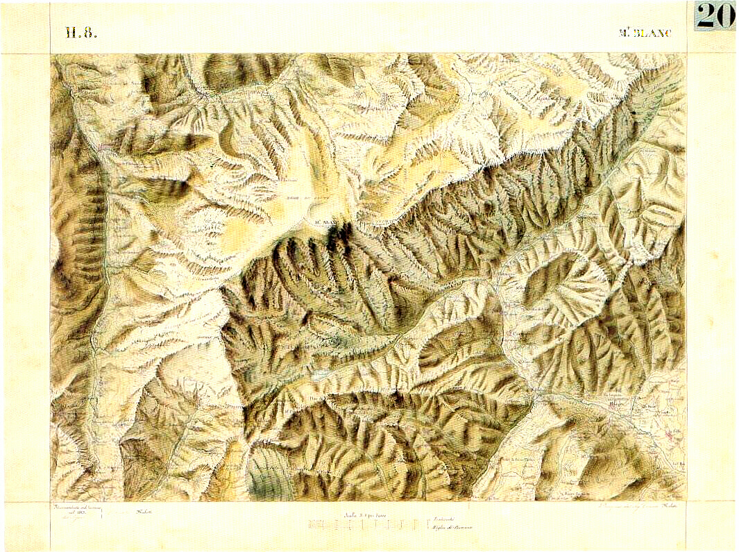
English: Old maps - 1823 - Mont Blanc/Monte Bianco: first not political border line. The same line was reproduced in the annexed map n.3, integrant part of the BORDER'S CONVENTION between Italy and France, signed in march 07 1861, and still legally valid. |
| Source | summitpost.org/mountains/photo link.pl/p/photo id 169713 object id 63 type mountain mountain id 63 route id user id order by limit |
| Geotemporal data | |
| Map location | Mont Blanc |
| Georeferencing | If inappropriate please set warp_status = skip to hide. |
Licensing
[edit]
|
This work is in the public domain in its country of origin and other countries and areas where the copyright term is the author's life plus 70 years or fewer. | |
| This file has been identified as being free of known restrictions under copyright law, including all related and neighboring rights. | |
File history
Click on a date/time to view the file as it appeared at that time.
| Date/Time | Thumbnail | Dimensions | User | Comment | |
|---|---|---|---|---|---|
| current | 14:14, 11 October 2005 | | 1,065 × 795 (743 KB) | Cats&dogs (talk | contribs) | http://www.summitpost.org/mountains/photo_link.pl/p/photo_id__169713__object_id__63__type__mountain__mountain_id__63__route_id____user_id____order_by____limit__ |
You cannot overwrite this file.
File usage on Commons
The following 2 pages use this file:
File usage on other wikis
The following other wikis use this file:
- Usage on en.wikipedia.org
- Usage on fr.wikipedia.org
- Usage on it.wikipedia.org
- Usage on nl.wikipedia.org
- Usage on ro.wikipedia.org