File:16th century Ottoman Portolan chart - Walters Deniz atlasi.pdf
Jump to navigation
Jump to search

Size of this JPG preview of this PDF file: 451 × 600 pixels. Other resolutions: 180 × 240 pixels | 361 × 480 pixels | 900 × 1,197 pixels.

Original file (900 × 1,197 pixels, file size: 2.97 MB, MIME type: application/pdf, 18 pages)
Captions
Captions
Add a one-line explanation of what this file represents
Summary
[edit]| Русский: Морской атлас
Français : Atlas maritime English: Maritime Atlas 中文:海洋地图集 Português: Atlas marítimo العربية: أطلس بحري Español: Atlas marítimo |
|
|---|---|
| Title |
Русский: Морской атлас
Français : Atlas maritime
English: Maritime Atlas
中文:海洋地图集
Português: Atlas marítimo
العربية: أطلس بحري
Español: Atlas marítimo |
| Description |
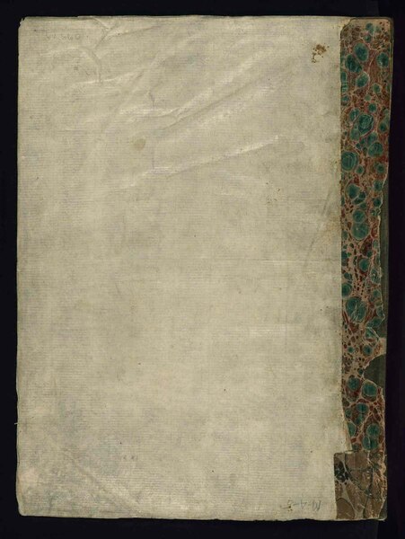
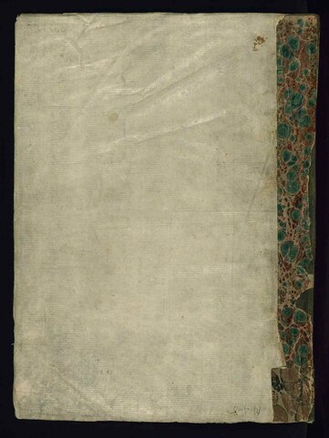
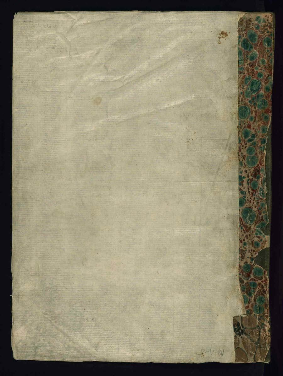
Русский: Данная работа представляет собой иллюминированный и иллюстрированный морской атлас, известный под названием Deniz atlası музея Уолтерс. Это один из самых первых османских атласов, предположительно датируемый серединой XVI века. Работа содержит восемь двухстраничных карт, выполненных на пергаменте. Четыре карты изображают Средиземное, Эгейское и Черное моря. Атлас также имеет карту мира и карту Индийского океана. Разные географические названия написаны черным шрифтом насталик. Отличительной особенностью этого атласа является внимание к указанию таких деталей, как краткие описания городов. Карты нарисованы в различных цветах, среди которых черный, красный, золотой, зеленый, синий, темно-розовый, светло-зеленый и желтый.
Иллюминирование рукописей; Морские карты; Карты мира Français : Cet ouvrage est un atlas maritime enluminé et illustré, connu sous le nom de Deniz atlası du Walters. Il est l'un des premiers atlas ottomans, provisoirement daté du milieu du XVIe siècle. L'ouvrage contient des cartes réparties sur huit doubles pages et réalisées sur parchemin. Quatre des cartes montrent la mer Méditerranée, la mer Égée et la mer Noire. Il y a également une carte du monde et une carte de l'océan Indien. Les différents noms géographiques sont écrits en caractères nasta‘līq noirs. Une caractéristique distinctive de cet atlas est l'approche détaillée de la représentation d'éléments tels que les vignettes de ville. Les cartes sont dessinées en différentes couleurs, notamment le noir, le rouge, l'or, le vert, le bleu, le rose foncé, le vert clair et le jaune.
Enluminures; Cartes marines; Cartes du monde English: This work is an illuminated and illustrated maritime atlas, referred to as the Walters Deniz atlası. It is one of the earliest Ottoman atlases, tentatively dated to around the mid-16th century. The work contains eight double-page charts executed on parchment. Four of the maps show the Mediterranean, Aegean, and Black seas. There is also a world map and a chart of the Indian Ocean. The various geographical names are written in black nasta‘līq script. A distinguishing feature of this atlas is the detailed approach to representing such features as city vignettes. The charts are drawn in various colors, including black, red, gold, green, blue, deep rose, light green, and yellow.
Illuminations; Nautical charts; World maps 中文:这部作品是附有彩饰和插图的海洋地图集,被称为沃尔特斯的海洋地图集。这是奥斯曼帝国最早的地图集之一,制作日期可能是 16 世纪中叶,其中包含 8 幅绘于羊皮纸上的双页图表。地图中有四幅展示了地中海、爱琴海和黑海,还有一幅是世界地图和印度洋海图。所有地理名称均采用黑色波斯体书写。这部地图集的一个显著特点是以小花饰图案详细展示地标,比如城市。图表以多种颜色绘制而成,包括黑色、红色、金色、绿色、蓝色、深玫瑰色、浅绿色和黄色。
插图; 航海图; 世界地图 Português: Este trabalho é um atlas marítimo ilustrado e iluminado, conhecido como o atlas de Walters Deniz. Ele é um dos primeiros atlas otomanos, com data tentativa de meados do século XVI. O trabalho contém oito tabelas de páginas duplas executadas em pergaminho. Quatro dos mapas mostram os mares do Mediterrâneo, Egeu e Negro. Há também um mapa-múndi e uma carta do Oceano Índico. Os vários nomes geográficos são escritos em nasta‘līq negro. Uma característica marcante deste atlas é a abordagem detalhada na representação de tais recursos como vinhetas de cidades. As cartas são desenhadas em várias cores, incluindo preto, vermelho, dourado, verde, azul, rosa choque, verde claro e amarelo.
Iluminuras; Cartas náuticas; Mapas-múndi العربية: هذا العمل عبارة عن أطلس بحري مزخرف وموضح، يطلق عليه اسم والترز دنيز أطلاسي. ويُعد واحداً من أوائل الأطالس العثمانية، والمؤرخ بشكلٍ مؤقت في حوالي منتصف القرن السادس عشر. يحتوي العمل على ثمانية مخططات مؤلفة من صفحات مزدوجة مرسومة على مخطوطة ورقية. تعرض أربع من الخرائط البحر المتوسط وبحر إيجة والبحر الأسود. هناك أيضاً خريطة للعالم ومخطط للمحيط الهندي. الأسماء الجغرافية المتعددة مكتوبة بخط النستعليق الأسود. من بين الخصائص التي تميز هذا الأطلس الأسلوب المفصّل المستخدم لتمثيل هذه الخصائص مثل زخرفة المدن. المخططات مرسومة بعدة ألوان بما في ذلك الأسود والأحمر والذهبي والأخضر والأزرق والوردي الداكن والأخضر الفاتح والأصفر.
الزخارف; الخرائط البحرية; خرائط العالم Español: Esta obra es un atlas marítimo iluminado e ilustrado, que se conoce como Deniz atlası perteneciente al Museo de Arte Walters. Es uno de los primeros atlas otomanos, con fecha aproximada de mediados del siglo XVI, aproximadamente. La obra contiene ocho cartas a doble página realizadas en pergamino. Cuatro de los mapas muestran los mares Mediterráneo, Egeo y Negro. También hay un mapa del mundo y una carta del Océano Índico. Los numerosos nombres geográficos están en escritura nasta‘līq en color negro. Una característica distintiva de este atlas es el enfoque minucioso para representar características como viñetas de ciudades. Las cartas están dibujadas en varios colores, como negro, rojo, dorado, verde, azul, rosa fuerte, verde claro y amarillo.
Iluminaciones; Cartas náuticas; Mapas del mundo |
| Date | between 1500 and 1600 |
| Medium |
Русский: Карты
Français : Cartes
English: Maps
中文:地图
Português: Mapas
العربية: خرائط
Español: Mapas |
| Dimensions |
English: Dimensions: 22.5 centimeters wide by 30 centimeters high. Foliation: ii+9 |
| Collection |
Русский: Музей искусства Уолтерса
Français : Musée des arts Walters
English: Walters Art Museum
中文:沃尔特斯艺术博物馆
Português: Museu de Arte Walters
العربية: متحف والترز الفني
Español: Museo de Arte Walters |
| Place of creation |
Русский: Мир
Français : Monde
English: World
中文:世界
Português: Mundo
العربية: العالم
Español: Mundo |
| Notes |
Русский: Walters Ms. W.660
Français : Walters Ms. W.660
English: Walters Ms. W.660
中文:沃尔特斯艺术博物馆,排架号:Ms. W.660
Português: Walters Ms. W.660
العربية: Walters Ms. W.660
Español: Walters Ms. W.660 |
| Source/Photographer |
http://dl.wdl.org/9211/service/9211.pdf
|
Licensing
[edit]|
This is a faithful photographic reproduction of a two-dimensional, public domain work of art. The work of art itself is in the public domain for the following reason:
The official position taken by the Wikimedia Foundation is that "faithful reproductions of two-dimensional public domain works of art are public domain".
This photographic reproduction is therefore also considered to be in the public domain in the United States. In other jurisdictions, re-use of this content may be restricted; see Reuse of PD-Art photographs for details. | ||||
File history
Click on a date/time to view the file as it appeared at that time.
| Date/Time | Thumbnail | Dimensions | User | Comment | |
|---|---|---|---|---|---|
| current | 01:57, 12 March 2014 |  | 900 × 1,197, 18 pages (2.97 MB) | Fæ (talk | contribs) | =={{int:filedesc}}== {{Artwork |artist = |author = |title ={{ru|1=Морской атлас}} {{fr|1=Atlas maritime}} {{en|1=Maritime Atlas}} {{zh|1=海洋地图集}} {{pt|1=Atlas marítimo}} {{ar|1=أطلس بحري}} {{es|1=Atlas marítimo}} |descri... |
You cannot overwrite this file.
File usage on Commons
The following 2 pages use this file: