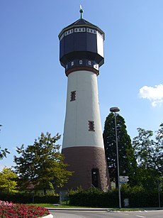
Category:Wasserturm Kehl
Jump to navigation
Jump to search
| Object location | | View all coordinates using: OpenStreetMap |
|---|
water tower in Germany | |||||
| Upload media | |||||
| Instance of | |||||
|---|---|---|---|---|---|
| Location | Kehl, Ortenau, Freiburg Government Region, Baden-Württemberg, Germany | ||||
| Inception |
| ||||
 | |||||
Media in category "Wasserturm Kehl"
The following 8 files are in this category, out of 8 total.
-
Kehl Wasserturm 2.jpg 788 × 1,050; 107 KB
-
Kehl Wasserturm 3.jpg 788 × 1,050; 146 KB
-
Kehl Wasserturm Anbau.jpg 1,400 × 1,050; 274 KB
-
Kehl Wasserturm Zeichnung.jpg 751 × 1,050; 143 KB
-
Kehl, Wasserturm und Weißtannenturm, 1.jpeg 3,264 × 2,448; 1.31 MB
-
Wasserturm Kehl bei Nacht.jpg 1,536 × 2,048; 802 KB
-
Wasserturm Kehl.JPG 2,112 × 2,816; 1.14 MB
-
Weißtannenturm-07-Aussicht OSO.jpg 4,284 × 3,213; 5.48 MB


