Category:USGS topo maps of Lake County, California
Jump to navigation
Jump to search
Media in category "USGS topo maps of Lake County, California"
The following 15 files are in this category, out of 15 total.
-
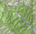
Blue Lakes and Cold Creek USGS topo map.png 830 × 801; 760 KB
-
Blue Lakes USGS topographical map.png 722 × 517; 438 KB
-
Boggs Mountain USGS topo map.png 918 × 822; 868 KB
-
Forest Lake USGS topo map.png 505 × 466; 264 KB
-
Hobergs, Lake County, CA USGS topo map.png 626 × 593; 409 KB
-
Howard Springs, CA USGS topo map.png 518 × 630; 340 KB
-
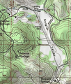
Middle Creek, Lake County, Cal USGS topo map.png 360 × 474; 210 KB
-
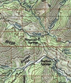
Newman Springs, Lake Cty, CA USGS topo map.png 340 × 401; 168 KB
-
Paul Hoberg Airport USGS topo map.png 523 × 616; 344 KB
-
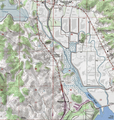
Rodman Slough and Tule Lake USGS topo map.png 536 × 482; 272 KB
-
Rodman Slough USGS topo map.png 450 × 573; 244 KB
-
Rodmans Slough and Robinson Lake USGS topo map.png 731 × 767; 598 KB
-
Saratoga Springs, CA USGS topo map.png 638 × 425; 297 KB
-
Scotts Creek, Lake County, CA USGS topo map.png 571 × 533; 370 KB
-
Tule Lake USGS topo map.png 860 × 662; 643 KB
