
Category:Topographic maps of Tunisia
Subcategories
This category has the following 2 subcategories, out of 2 total.
M
- Maps of gulfs of Tunisia (15 F)
S
Media in category "Topographic maps of Tunisia"
The following 12 files are in this category, out of 12 total.
-

-
 Atlas-Mountains-Labeled-2.jpg 3,755 × 1,884; 1.25 MB
-
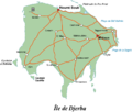 Carte de Djerba.png 787 × 667; 105 KB
-
 Chott el Jerid.jpg 955 × 507; 140 KB
-
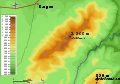 Djebel Bargou topography.svg 848 × 592; 234 KB
-
 Kem Kem.png 969 × 561; 921 KB
-
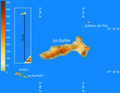 Lagalite.png 3,650 × 2,835; 401 KB
-
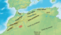
 Les monts Atlas.png 969 × 561; 1.02 MB
-
 TopoMapLaGalite.png 5,400 × 5,400; 12 MB
-
 Chquel-map-fr.png 348 × 352; 145 KB
-
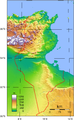 Tunisia Topography.png 733 × 1,192; 708 KB
-
 Tunisian Republic location map Topographic.png 861 × 1,624; 1.96 MB
.jpg)


