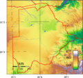
Category:Topographic maps of Botswana
Jump to navigation
Jump to search
Subcategories
This category has only the following subcategory.
S
Media in category "Topographic maps of Botswana"
The following 4 files are in this category, out of 4 total.
-
Botswana Kimberlite Mines and Fields.png 605 × 599; 181 KB
-
Botswana Topography.png 1,440 × 1,353; 1.78 MB
-
Kavango-Zambezi Transfrontier Conservation map de.png 1,491 × 1,005; 1.33 MB
-
Okavango River Basin map.png 3,052 × 3,160; 8.63 MB


