Category:Shubert's maps of Novgorod Governorate
Jump to navigation
Jump to search
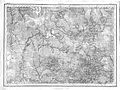
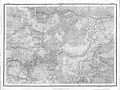
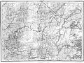
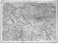
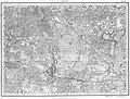
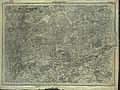
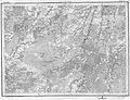
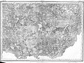
English: "Shubert map". Topographic map of Novgorod Governorate years. Printed in 1850. 3 versta in inch (1260 m in 1 cm).
Media in category "Shubert's maps of Novgorod Governorate"
The following 25 files are in this category, out of 25 total.
-
 Novgorod - Shubert map 3v - R4L10.jpg 7,038 × 5,290; 29.6 MB
-
 Novgorod - Shubert map 3v - R4L11.jpg 7,219 × 5,409; 24.57 MB
-
 Novgorod - Shubert map 3v - R4L12.jpg 7,222 × 5,423; 24.54 MB
-
 Novgorod - Shubert map 3v - R4L9.jpg 6,894 × 5,335; 29.05 MB
-
 Novgorod - Shubert map 3v - R5L10.jpg 6,909 × 5,223; 23.83 MB
-
 Novgorod - Shubert map 3v - R5L11.jpg 6,909 × 5,290; 23.61 MB
-
 Novgorod - Shubert map 3v - R5L12.jpg 6,909 × 5,274; 23.09 MB
-
 Novgorod - Shubert map 3v - R6L10.jpg 6,892 × 5,215; 30.39 MB
-
 Novgorod - Shubert map 3v - R6L11.jpg 6,886 × 5,208; 30.61 MB
-
 Novgorod - Shubert map 3v - R6L12.jpg 6,924 × 5,200; 23.96 MB
-
 Shubert map - R02L10.jpg 7,317 × 5,556; 29.09 MB
-
 Shubert map - R03L09.jpg 6,847 × 5,193; 26.13 MB
-
 Shubert map - R03L10.jpg 6,858 × 5,249; 26.44 MB
-
 Shubert map - R05L08.jpg 7,453 × 5,639; 17.49 MB
-
 Shubert map - R05L09.jpg 7,358 × 5,580; 21.92 MB
-
 Shubert map - R05L13.jpg 7,474 × 5,674; 15.69 MB
-
 Shubert map - R06L08.jpg 7,702 × 5,762; 18.71 MB
-
 Shubert map - R06L09.jpg 7,543 × 5,646; 17.48 MB
-
 Shubert map - R07L08.jpg 9,728 × 7,427; 30.72 MB
-
 Shubert map - R07L09.jpg 6,924 × 5,298; 27.17 MB
-
 Shubert map - R07L12.jpg 7,515 × 5,770; 12.46 MB
-
 Shubert map - R08L09.jpg 9,741 × 7,263; 24.29 MB
-
 Shubert map 3v - R3L11 - Novgorod.jpg 6,862 × 5,234; 27.97 MB
-
 Shubert map 3v - R3L12 - Novgorod.jpg 6,893 × 5,210; 26.72 MB
-
 Shubert map 3v - R7L11 - Novgorod.jpg 6,909 × 5,238; 26.8 MB


