Category:Satellite pictures of the South Shetland Islands
Jump to navigation
Jump to search
Subcategories
This category has the following 3 subcategories, out of 3 total.
Media in category "Satellite pictures of the South Shetland Islands"
The following 10 files are in this category, out of 10 total.
-
 A-68A in February 2020 ESA22128359.jpeg 3,995 × 3,995; 10.16 MB
-
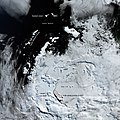
 Antarctic Peninsula and South Shetlands Islands ESA227089.jpg 978 × 978; 169 KB
-
 Antarctic Peninsula and South Shetlands Islands ESA227089.tiff 978 × 978; 1.99 MB
-
 Cornwallis Island by Landsat 8.jpg 300 × 200; 30 KB
-
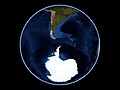 EarthCenteredOnSouthShetlandIslands.jpg 1,278 × 958; 103 KB
-
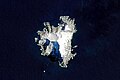
 King George Island, Antartica.jpg 1,137 × 2,021; 561 KB
-
 Livingston Island.jpg 639 × 435; 28 KB
-

-
 South Shetland Islands and Antarctic Peninsula.jpg 1,440 × 960; 393 KB
-
 South Shetland Islands, Antarctica (MODIS 2016-11-24).jpg 1,600 × 1,200; 121 KB


_2020-01-19_Sentinel-2_L2A_Highlight_Optimized_Natural_Color.jpg)

.jpg)