Category:SVG maps of historical regional subdivisions of France
Jump to navigation
Jump to search
Media in category "SVG maps of historical regional subdivisions of France"
The following 32 files are in this category, out of 32 total.
-
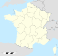
France location map-Regions and departements 1975-2014.svg 2,000 × 1,922; 753 KB
-
France location map-Regions-2015 (numbered).svg 512 × 492; 457 KB
-
France location map-Regions-2015.svg 2,000 × 1,922; 519 KB
-
France South West location map.svg 859 × 838; 268 KB
-
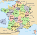
Carte France Régions.svg 588 × 550; 1.72 MB
-
Departamantoù ha rannvroioù kozh.svg 588 × 550; 475 KB
-
Departamentos e rexións de Francia.svg 606 × 555; 353 KB
-
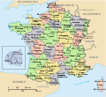
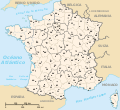
Départements de France nom+num He.svg 635 × 580; 1.16 MB
-
Départements de France nom+num-2015.svg 635 × 580; 477 KB
-
Départements de France nom+num.svg 635 × 580; 475 KB
-
Départements et régions de France - Noname-2014.svg 588 × 550; 437 KB
-
Départements et régions de France es.svg 588 × 550; 437 KB
-
Départements et régions de France vide.svg 530 × 550; 210 KB
-
Départements et régions de France.svg 588 × 550; 362 KB
-
Départements et régions de France2.svg 588 × 550; 262 KB
-
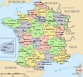
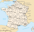
Départements+régions (France).svg 588 × 550; 453 KB
-
Départements+régions+capitales(France).svg 588 × 550; 488 KB
-
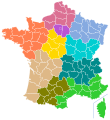
France 22 regions map.svg 507 × 553; 149 KB
-
France all regions.svg 386 × 296; 152 KB
-
France current regions map-new colors.svg 507 × 553; 156 KB
-
France igamies (1948) map.svg 507 × 553; 146 KB
-
France location map-Regions and departements-2015.svg 2,000 × 1,922; 699 KB
-
France-Regions et blasons.svg 2,000 × 1,922; 1.94 MB
-
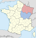
Grand Est.svg 530 × 550; 210 KB
-
Overzichtskaart Franse Departementen.svg 625 × 625; 481 KB
-
Regiones metropolitanas de Francia.svg 606 × 555; 353 KB
-
Regions de France.svg 625 × 625; 200 KB
-
Regions de França abans del 2016.svg 588 × 550; 318 KB
-
RegionsGraphViz.svg 758 × 720; 16 KB
-
Régions de France avant 2016.svg 588 × 550; 363 KB
-
Régions de France-de.svg 588 × 550; 332 KB
-
Trestallos y rechions de Franzia.svg 588 × 550; 459 KB


