Category:SVG maps of Amazonas (Brazil)
Jump to navigation
Jump to search
Media in category "SVG maps of Amazonas (Brazil)"
The following 26 files are in this category, out of 26 total.
-
 Brazil State Amazonas.svg 702 × 687; 676 KB
-
 Amazonas MesoMicroMunicip.svg 985 × 691; 721 KB
-
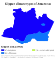 Amazonas Köppen.svg 512 × 538; 105 KB
-
 Amazonas RM Manaus.svg 985 × 691; 474 KB
-
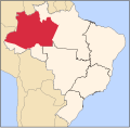
 Brazil Amazonas location map.svg 972 × 678; 695 KB
-
 Clima do Amazonas (Köppen).svg 512 × 538; 112 KB
-
 Digital terrestrial broadcasting in Amazonas.svg 985 × 691; 422 KB
-
 Maicimirim-fr.svg 849 × 799; 237 KB
-
 Mapa do IDH do Amazonas (2010).svg 512 × 384; 389 KB
-
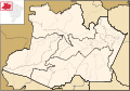
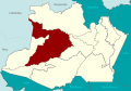
 Região Imediata de Coari, Amazonas.svg 1,280 × 893; 169 KB
-
 Região Imediata de Eirunepé, Amazonas.svg 1,280 × 893; 168 KB
-
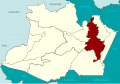
 Região Imediata de Itacoatiara, Amazonas.svg 1,280 × 893; 168 KB
-
 Região Imediata de Lábrea, Amazonas.svg 1,280 × 893; 168 KB
-
 Região Imediata de Manacapuru, Amazonas.svg 1,280 × 893; 168 KB
-
 Região Imediata de Manaus, Amazonas.svg 1,280 × 893; 170 KB
-
 Região Imediata de Manicoré, Amazonas.svg 1,280 × 893; 168 KB
-
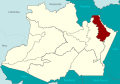
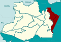
 Região Imediata de Parintins, Amazonas.svg 1,280 × 893; 169 KB
-
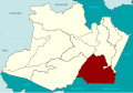
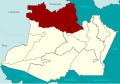 Região Imediata de São Gabriel da Cachoeira, Amazonas.svg 1,280 × 893; 167 KB
-
 Região Imediata de Tabatinga, Amazonas.svg 1,280 × 893; 168 KB
-
 Região Imediata de Tefé, Amazonas.svg 1,280 × 893; 170 KB
-
 Região Intermediária de Lábrea, Amazonas.svg 1,280 × 893; 999 KB
-
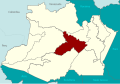
 Região Intermediária de Manaus, Amazonas.svg 1,280 × 893; 664 KB
-
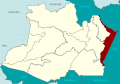
 Região Intermediária de Parintins, Amazonas.svg 1,280 × 893; 1,017 KB
-
 Região Intermediária de Tefé, Amazonas.svg 1,280 × 893; 676 KB
-
 Regiões Geográficas do Estado do Amazonas.svg 512 × 357; 275 KB
-
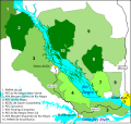 Rio Negro south conservation units.svg 1,242 × 1,171; 626 KB


.svg)


.svg)


