Category:Road maps of North Rhine-Westphalia
Jump to navigation
Jump to search
Federal states of Germany:
Media in category "Road maps of North Rhine-Westphalia"
The following 16 files are in this category, out of 16 total.
-
Aachen.svg 300 × 250; 21 KB
-
AK-Aachen Ausbau2009.svg 571 × 394; 195 KB
-
AS Oberhausen-Zentrum.png 1,940 × 626; 913 KB
-
B1 in Mülheim.jpg 673 × 765; 115 KB
-
Bundesautobahn 535 Verlauf.png 655 × 642; 16 KB
-
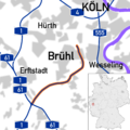
Bundesautobahn 553 map.png 1,200 × 1,200; 175 KB
-
Bundesautobahn 555 map.png 400 × 684; 68 KB
-
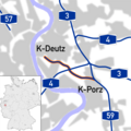
Bundesautobahn 559 map.png 1,200 × 1,200; 160 KB
-
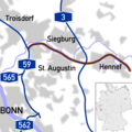
Bundesautobahn 560 map.png 1,200 × 1,200; 162 KB
-
Bundesautobahn 562 map.png 800 × 300; 53 KB
-
Bundesautobahn 565 map.png 800 × 1,470; 180 KB
-
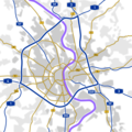
Koelner Ring.png 1,200 × 1,200; 150 KB
-
North rhine w template 2 only vector.svg 752 × 599; 1.69 MB
-
North rhine w template 2.png 3,200 × 2,718; 3.4 MB
-
Ostfriesenspieß.jpg 517 × 519; 78 KB
-
Region Bonn motorways.png 800 × 800; 114 KB


