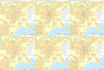
Category:Public transport maps of Montpellier
Jump to navigation
Jump to search
Media in category "Public transport maps of Montpellier"
The following 6 files are in this category, out of 6 total.
-
Montpellier public transport system map (with stations).png 4,658 × 4,399; 8.87 MB
-
Montpellier Tram Map TH.svg 2,000 × 2,358; 2.53 MB
-
Montpellier Tramway Map 2019.svg 2,000 × 2,358; 1.78 MB
-
Railway map of France - Montpellier - animated - fr.gif 1,691 × 1,723; 14.25 MB
-
StraßenbahnGleisplanMontpellier2018.png 6,810 × 5,938; 1.09 MB
-
มงเปอลีเยแผนที่ระบบขนส่งมวลชน.png 2,000 × 2,358; 1.15 MB


