Category:Public transport maps of Copenhagen
Jump to navigation
Jump to search
Subcategories
This category has the following 4 subcategories, out of 4 total.
B
- Bus maps of Copenhagen (87 F)
C
- Copenhagen Metro maps (47 F)
- Copenhagen S-train maps (19 F)
T
- Tram maps of Copenhagen (10 F)
Media in category "Public transport maps of Copenhagen"
The following 12 files are in this category, out of 12 total.
-
Copenhagen City Rail Schematic Map.jpg 1,357 × 1,134; 159 KB
-
Copenhagen City Rail Schematic Map.png 1,357 × 1,134; 449 KB
-
Copenhagen UrbanRailSystemMap DK.JPG 793 × 828; 126 KB
-
Copenhagen UrbanRailSystemMap DK.PNG 793 × 828; 27 KB
-
Copenhagen UrbanRailSystemMap.PNG 793 × 828; 29 KB
-
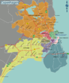
Cph districts.png 711 × 842; 290 KB
-
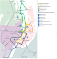
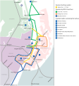
Cph habour transportation.png 791 × 822; 207 KB
-
Cph habour transportation.svg 752 × 809; 144 KB
-
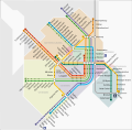
CPH metro.svg 721 × 711; 1,017 KB
-
CPH stog metro districts.png 721 × 711; 210 KB
-
CPH-map.svg 2,152 × 2,091; 627 KB
-
DOT Copenhagen.jpg 1,021 × 918; 98 KB


