Category:Platt's großer Atlas der Erde
Jump to navigation
Jump to search
Media in category "Platt's großer Atlas der Erde"
The following 74 files are in this category, out of 74 total.
-
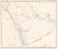 Arabien Platt 1848.pdf 2,808 × 2,364; 422 KB
-
 Britisch Nord America 1 Blatt Platt 1848.pdf 2,377 × 2,995; 774 KB
-
 Britisch Nord America 2 Blatt Platt 1848.pdf 2,397 × 2,993; 816 KB
-
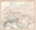
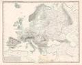
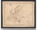 Charte von Europa Platt 1848.pdf 3,862 × 3,129; 159 KB
-
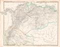 Columbia Platt 1848.pdf 3,095 × 2,425; 689 KB
-
 Das Chinesische Reich 1tes Blatt Turkestan u Tibet Platt 1848.pdf 2,460 × 2,906; 1,011 KB
-
 Das Chinesische Reich 2tes Blatt China Platt 1848.pdf 2,906 × 2,460; 737 KB
-
 Das Chinesische Reich 3tes Blatt Mongolei und Mandschurei Platt 1848.pdf 2,958 × 2,427; 681 KB
-
 Das Erz Herzogthum Oesterreich Steirmark Kärnthen u Krain nebst Ilirien Platt 1848.pdf 2,475 × 2,947; 1.08 MB
-
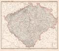 Das Königreich Böhmen Platt 1848.pdf 2,804 × 2,418; 863 KB
-
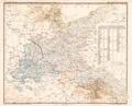
 Das Königreich Polen Platt 1848.pdf 2,314 × 2,852; 1.02 MB
-
 Das Lombardisch-Venezianische Königreich Platt 1848.pdf 2,872 × 2,372; 680 KB
-
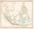 Der asiatische Archipel Platt 1848.pdf 2,950 × 2,452; 512 KB
-
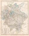 Deutsche Bundesstaaten Platt 1848.pdf 2,418 × 2,977; 1.24 MB
-
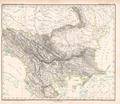 Die europäische Türkey Platt 1848.pdf 2,845 × 2,470; 768 KB
-
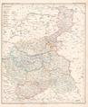
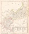
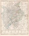
 Die IV mittleren Provinzen des Preussischen Staats Platt 1848.pdf 2,872 × 2,320; 765 KB
-
 Die Königreiche Holland und Belgien Platt 1848.pdf 2,375 × 2,977; 946 KB
-
-
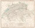 Die Schweiz mit dem Fürstenthum Lichtenstein Platt 1848.pdf 2,879 × 2,375; 784 KB
-
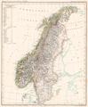 Die Skandinavische Halbinsel Platt 1848.pdf 2,306 × 2,800; 797 KB
-
 Die Sächsischen Anhaltischen u Schwarzenburgischen Länder Platt 1848.pdf 2,977 × 2,375; 767 KB
-
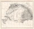
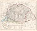 Die Ungarischen Länder mit einem Theil von Galizien Platt 1848.pdf 2,797 × 2,358; 786 KB
-
-
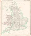 England und das Fürstenthum Wales Platt 1848.pdf 2,414 × 2,872; 736 KB
-
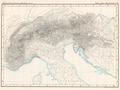 Europäisches Alpenland Platt 1848.pdf 2,872 × 2,160; 612 KB
-
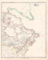
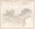
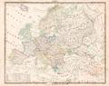
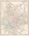 Europäisches Russland Platt 1848.pdf 2,341 × 2,941; 1.24 MB
-
-
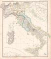 Italienische Staaten Platt 1848.pdf 2,470 × 2,845; 749 KB
-
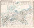 Karte des preussischen Staats Platt 1848.pdf 2,872 × 2,320; 814 KB
-
 Karte des österreichischen Staat's Platt 1848.pdf 2,977 × 2,418; 736 KB
-
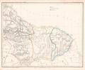 Karte vom englischen holländischen und französischen Guyana Platt 1848.pdf 2,904 × 2,425; 484 KB
-
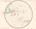
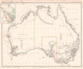 Karte vom Festland Australien Platt 1848.pdf 2,866 × 2,377; 483 KB
-
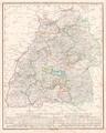
 Karte vom Königreich Bayern Platt 1848.pdf 2,397 × 2,993; 1.14 MB
-
-
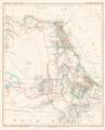 Karte vom Nilgebiet Platt 1848.pdf 2,337 × 2,887; 734 KB
-
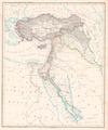 Karte vom türkischen Reich in Asien Platt 1848.pdf 2,325 × 2,779; 705 KB
-
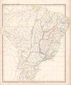 Karte von Brasilien Platt 1848.pdf 2,556 × 3,075; 788 KB
-
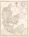 Karte von Dänemark und Mecklenburg Platt 1848.pdf 2,375 × 2,977; 933 KB
-
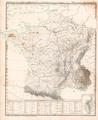
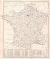 Karte von Frankreich Platt 1848.pdf 2,447 × 2,918; 1 MB
-
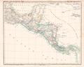 Karte von Guatemala Platt 1848.pdf 2,993 × 2,397; 455 KB
-
-
 Karte von Hinter Indien Platt 1848.pdf 2,350 × 2,843; 872 KB
-
 Karte von Irland Platt 1848.pdf 2,283 × 2,881; 844 KB
-
 Karte von La Plata Chili Paraguay Uruguay und Patagonien Platt 1848.pdf 2,397 × 2,993; 632 KB
-
 Karte von Peru und Bolivia Platt 1848.pdf 2,920 × 2,410; 588 KB
-
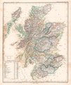 Karte von Schottland Platt 1848.pdf 2,414 × 2,872; 1,009 KB
-
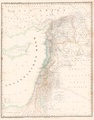 Karte von Syrien Platt 1848.pdf 2,320 × 2,964; 719 KB
-
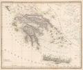 Königreich Griechenland Platt 1848.pdf 2,800 × 2,372; 556 KB
-
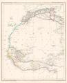 Nord Westafrica Platt 1848.pdf 2,337 × 2,887; 632 KB
-
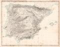 Oro- und Hydrographische Karte der pyrenäischen Halbinsel Platt 1848.pdf 3,014 × 2,362; 608 KB
-
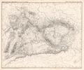
 Oro- und Hydrographische Karte vom Karpathenland Platt 1848.pdf 2,827 × 2,379; 630 KB
-
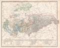
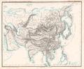 Oro- und Hydrographische Karte von Asien Platt 1848.pdf 2,881 × 2,372; 661 KB
-
-
 Oro- und Hydrographische Karte von Mittel Europa nach Berghaus Platt 1848.pdf 2,897 × 2,377; 851 KB
-
 Oro- und Hydrographische Karte von Nordamerika Platt 1848.pdf 2,993 × 2,397; 422 KB
-
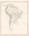 Oro- und Hydrographische Karte von Südamerika Platt 1848.pdf 2,397 × 2,993; 615 KB
-
 Plateau von Deutschland Platt 1848.pdf 2,858 × 2,375; 737 KB
-
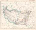 Plateau von Iran Platt 1848.pdf 2,864 × 2,395; 661 KB
-
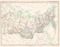 Sibirien oder ds asiatische Russland Platt 1848.pdf 2,945 × 2,302; 594 KB
-
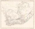 Südspitze von Africa oder Capland Platt 1848.pdf 2,887 × 2,377; 511 KB
-
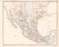 Vereinigte Staaten von Mejico Platt 1848.pdf 2,993 × 2,397; 570 KB
-
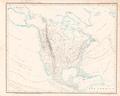
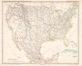
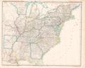 Vereinigte Staaten von Nord America Platt 1848.pdf 2,993 × 2,397; 700 KB
-
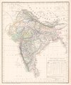 Vorder Indien Platt 1848.pdf 2,395 × 2,864; 815 KB
-
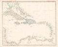 Westindien Platt 1848.pdf 2,993 × 2,397; 442 KB
-
 Übersichts-Karte der Erde vom Nord- und Südpol Platt 1848.pdf 2,914 × 2,158; 403 KB
-
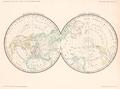
 Übersichts-Karte der ganzen Erde Platt 1848.pdf 2,877 × 2,339; 388 KB
-
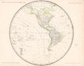 Übersichts-Karte der westlichen Hemisphäre Platt 1848.pdf 2,908 × 2,275; 387 KB
-
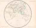 Übersichts-Karte der östlichen Hemisphäre Platt 1848.pdf 2,900 × 2,275; 441 KB
-
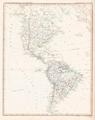 Übersichtskarte der americanischen Staaten Platt 1848.pdf 2,377 × 2,995; 654 KB
-
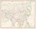 Übersichtskarte der asiatischen Staaten Platt 1848.pdf 2,881 × 2,372; 693 KB
-
 Übersichtskarte der europäischen Länder Platt 1848.pdf 2,995 × 2,377; 748 KB
-
 Übersichtskarte der Hoch- Flach u Tiefländer in Europa Platt 1848.pdf 2,995 × 2,377; 621 KB
-
 Übersichtskarte der Vereinigten Staaten von Nord America und Mejico Platt 1848.pdf 2,993 × 2,397; 668 KB
-
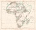 Übersichtskarte von Africa Platt 1848.pdf 2,872 × 2,425; 576 KB