Category:Picard-language maps
Jump to navigation
Jump to search
Media in category "Picard-language maps"
The following 15 files are in this category, out of 15 total.
-
 Aa and connecting waterways-pcd.jpg 500 × 556; 86 KB
-
 Bachin-deul-Meuse-pcd.png 625 × 971; 143 KB
-
 Biélorussie-carte-pcd.png 330 × 353; 36 KB
-
 Brèle Drainage Bassin-pcd.png 1,024 × 717; 1,005 KB
-
 Canal Calés.jpg 585 × 415; 63 KB
-
 Carte Eutie pi Brele Riviere-pcd.png 1,145 × 1,200; 1.16 MB
-
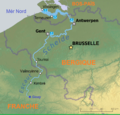
 Donmène-picard-jpg.jpg 2,432 × 2,124; 1.26 MB
-
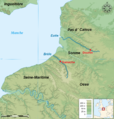
 Escaut Relief (pcd).png 1,200 × 1,150; 1.99 MB
-
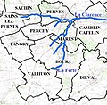 La Ferté ( cours d'iau ).jpg 771 × 757; 191 KB
-
 Langues d'oïl Simoni-Aurembou-pcd.png 2,000 × 1,313; 607 KB
-
 Pcd-Carte conmune FR insee 62278.png 756 × 605; 32 KB
-
 Pcd-Carte conmune FR insee 62279.png 756 × 605; 38 KB
-
 Pcd-Carte conmune FR insee 62280.png 756 × 605; 45 KB
-
 Riot(Hauts-de-France).jpg 1,725 × 644; 150 KB
-
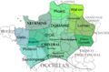
 Règions Franche 2016.png 2,048 × 2,048; 514 KB


.png)
.jpg)


.jpg)