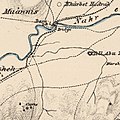
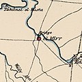
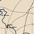
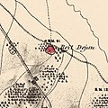
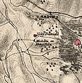
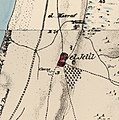
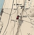
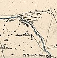
Category:PEF map of Western Palestine (details of sheet 13)
Jump to navigation
Jump to search
Media in category "PEF map of Western Palestine (details of sheet 13)"
The following 32 files are in this category, out of 32 total.
-
Historical map series for the area of Abu Kishk (1870s).jpg 741 × 745; 177 KB
-
Historical map series for the area of al-'Abbasiyya (1870s).jpg 740 × 744; 147 KB
-
Historical map series for the area of al-Jammasin al-Gharbi (1870s).jpg 740 × 744; 158 KB
-
Historical map series for the area of al-Jammasin al-Sharqi (1870s).jpg 741 × 744; 166 KB
-
Historical map series for the area of al-Khayriyya (1870s).jpg 740 × 744; 143 KB
-
Historical map series for the area of al-Mas'udiyya (1870s).jpg 740 × 744; 150 KB
-
Historical map series for the area of al-Mirr (1870s).jpg 741 × 744; 131 KB
-
Historical map series for the area of al-Muwaylih (1870s).jpg 741 × 744; 121 KB
-
Historical map series for the area of al-Safiriyya (1870s).jpg 740 × 743; 151 KB
-
Historical map series for the area of al-Sawalima (1870s).jpg 741 × 744; 158 KB
-
Historical map series for the area of al-Shaykh Muwannis (1870s).jpg 741 × 744; 151 KB
-
Historical map series for the area of Bayt Dajan (1870s).jpg 740 × 743; 170 KB
-
Historical map series for the area of Bir Salim (1870s).jpg 739 × 743; 204 KB
-
Historical map series for the area of Bir Salim (1940s).jpg 739 × 743; 227 KB
-
Historical map series for the area of Biyar 'Adas (1870s).jpg 741 × 745; 154 KB
-
Historical map series for the area of Daniyal (1870s).jpg 739 × 743; 251 KB
-
Historical map series for the area of Fajja (1870s).jpg 740 × 744; 154 KB
-
Historical map series for the area of Ijlil al-Qibliyya (1870s).jpg 741 × 745; 157 KB
-
Historical map series for the area of Ijlil al-Shamaliyya (1870s).jpg 741 × 745; 157 KB
-
Historical map series for the area of Jarisha (1870s).jpg 741 × 744; 172 KB
-
Historical map series for the area of Kafr 'Ana (1870s).jpg 740 × 744; 139 KB
-
Historical map series for the area of Khirbat al-Duhayriyya (1870s).jpg 739 × 743; 241 KB
-
Historical map series for the area of Nabi Rubin (1870s).jpg 739 × 743; 154 KB
-
Historical map series for the area of Rantiya (1870s).jpg 740 × 744; 137 KB
-
Historical map series for the area of Salama, Jaffa (1870s).jpg 740 × 744; 198 KB
-
Historical map series for the area of Saqiya (1870s).jpg 740 × 744; 123 KB
-
Historical map series for the area of Sarafand al-Kharab (1870s).jpg 739 × 743; 180 KB
-
Historical map series for the area of Yazur (1870s).jpg 740 × 744; 146 KB
-
PEF map - BEIT NABALA.jpg 1,087 × 569; 175 KB
-
נחל הדר במפת PEF.png 960 × 720; 952 KB


