Category:OpenStreetMap maps of Uruguay
Jump to navigation
Jump to search
Subcategories
This category has only the following subcategory.
M
Media in category "OpenStreetMap maps of Uruguay"
The following 24 files are in this category, out of 24 total.
-
Map of Barra de Carrasco.png 814 × 722; 312 KB
-
Map of Colinas de Solymar.png 579 × 469; 108 KB
-
Map of El Bosque.png 468 × 484; 156 KB
-
Map of El Pinar.png 2,283 × 1,386; 1.18 MB
-
Map of Lagomar.png 1,028 × 972; 623 KB
-
Map of Lomas de Solymar.png 1,461 × 1,290; 964 KB
-
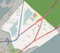
Map of Parque Carrasco.png 1,224 × 1,036; 570 KB
-
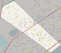
Map of San Jose de Carrasco.png 1,036 × 900; 575 KB
-
Map of Shangrila.png 936 × 712; 415 KB
-
Map of Solymar.png 1,266 × 1,156; 855 KB
-
Parque Rodo.png 552 × 866; 206 KB
-
Plaza de Cagancha.png 1,090 × 791; 424 KB
-
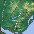
Route 1 Uruguay.png 1,008 × 764; 829 KB
-
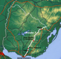
Route 1-Uruguay.png 1,008 × 764; 805 KB
-
Route 10-Uruguay.png 683 × 406; 373 KB
-
Route 3-Uruguay.png 557 × 551; 501 KB
-
Route 5-Uruguay.png 560 × 552; 525 KB
-
Route 6-Uruguay.png 557 × 551; 500 KB
-
Route 7-Uruguay.png 607 × 588; 597 KB
-
Route 8-Uruguay.png 561 × 552; 499 KB
-
Route 9-Uruguay.png 431 × 340; 222 KB
-
Route IB-Uruguay.png 775 × 531; 531 KB
-
Route IB.png 775 × 531; 525 KB
-
Santiago Vasquez.png 574 × 616; 100 KB


