Category:OpenStreetMap maps of Seattle
Jump to navigation
Jump to search
Media in category "OpenStreetMap maps of Seattle"
The following 14 files are in this category, out of 14 total.
-
Enter year click search.png 1,317 × 744; 110 KB
-
Green Lake with 1911 shoreline overlay.png 1,994 × 1,252; 983 KB
-
Lake Washington Ship Canal map.png 2,651 × 1,458; 1.38 MB
-
Map Seattle.jpg 1,666 × 2,386; 879 KB
-
Pollinator Pathway Columbia Street.png 1,153 × 916; 572 KB
-
Proposed Seattle canals.png 1,149 × 1,254; 603 KB
-
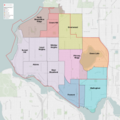
Seattle City Council District 1 neighborhoods.png 3,639 × 3,641; 4.59 MB
-
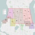
Seattle City Council District 2 neighborhoods.png 3,610 × 3,610; 5.32 MB
-
Seattle City Council District 3 neighborhoods.png 3,564 × 3,564; 4.38 MB
-
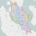
Seattle City Council District 4 neighborhoods.png 3,203 × 3,203; 3.69 MB
-
Seattle City Council District 5 neighborhoods.png 3,483 × 3,483; 3.13 MB
-
Seattle City Council District 6 neighborhoods.png 3,591 × 3,591; 5.39 MB
-
Seattle City Council District 7 neighborhoods.png 2,422 × 2,422; 2.29 MB
-
Seattle, WA.png 1,280 × 800; 395 KB


