Category:Old maps of Lancaster County, Pennsylvania
Jump to navigation
Jump to search
Counties of Pennsylvania : Adams · Allegheny · Armstrong · Beaver · Bedford · Berks · Blair · Bradford · Bucks · Butler · Cambria · Cameron · Carbon · Centre · Chester · Clarion · Clearfield · Clinton · Columbia · Crawford · Cumberland · Dauphin · Delaware · Elk · Erie · Fayette · Franklin · Fulton · Greene · Huntingdon · Indiana · Jefferson · Juniata · Lackawanna · Lancaster · Lawrence · Lebanon · Lehigh · Luzerne · Lycoming · McKean · Mercer · Mifflin · Monroe · Montgomery · Montour · Northampton · Northumberland · Perry · Philadelphia · Pike · Potter · Schuylkill · Snyder · Somerset · Sullivan · Susquehanna · Tioga · Union · Venango · Warren · Washington · Wayne · Westmoreland · Wyoming · York
Subcategories
This category has the following 7 subcategories, out of 7 total.
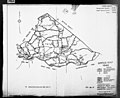
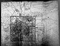
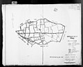
Media in category "Old maps of Lancaster County, Pennsylvania"
The following 64 files are in this category, out of 64 total.
-

-
-

-

-

-

-

-

-

-

-

-

-

-

-

-

-

-

-

-

-

-
-

-

-

-

-

-

-

-

-
-

-

-
-

-

-

-

-

-

-

-
-
-

-

-
-

-

-

-
-

-

-

-

-
-

-
-

-

-
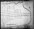
 Atglen & Susquehanna Br PRR map 1911.jpg 938 × 617; 536 KB
-
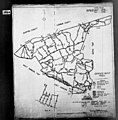
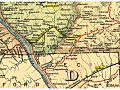
 C&PD RR map 1895.jpg 593 × 712; 553 KB
-
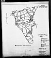
 Lancaster, with its rail road connections - 1887. LOC 2004627700.jpg 5,560 × 4,876; 2.64 MB
-
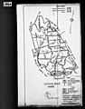
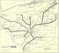
 LO&S RR map 1895.jpg 960 × 720; 205 KB
-
 The Street railway journal (1903) (14759698895).jpg 1,834 × 1,666; 351 KB


.jpg)
.jpg)
.jpg)
.jpg)
.jpg)
.jpg)

.jpg)
.jpg)
.jpg)
.jpg)
.jpg)

.jpg)
.jpg)
.jpg)
.jpg)


.jpg)
.jpg)


.jpg)
.jpg)
.jpg)


.jpg)
.jpg)


_(14759698895).jpg)