Category:Maps showing the 800s
Jump to navigation
Jump to search
Subcategories
This category has the following 2 subcategories, out of 2 total.
- Maps showing 802 (5 F)
- Maps showing 806 (2 F)
Media in category "Maps showing the 800s"
The following 6 files are in this category, out of 6 total.
-
727px-NE 800ad.jpg 727 × 599; 173 KB
-
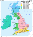
Britain 802 de.svg 759 × 842; 158 KB
-
Britain 802 es.svg 759 × 842; 710 KB
-
Britain 802.pdf 1,239 × 1,754; 73 KB
-
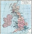
British isles 802.jpg 1,076 × 1,127; 1.29 MB
-
East-Hem 800ad.jpg 3,240 × 1,903; 3.51 MB


