Category:Maps of volcanic fields
Jump to navigation
Jump to search
Media in category "Maps of volcanic fields"
The following 7 files are in this category, out of 7 total.
-
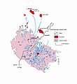
Adel volcanics.jpg 1,661 × 1,808; 689 KB
-
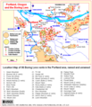
Boring lava allen map.png 690 × 800; 31 KB
-
Harrart.jpg 2,000 × 2,657; 375 KB
-
Kayagatake Volcano & Kurofuji Volcano Group Relief Map, SRTM-1.jpg 1,200 × 1,200; 771 KB
-
LANDSAT Potrillo Volcanic Field.jpg 1,935 × 1,888; 2.39 MB
-
Mount Cayley volcanic field NASA.png 184 × 434; 176 KB


