Category:Maps of villages in Taoyuan
Jump to navigation
Jump to search
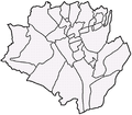
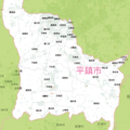
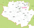
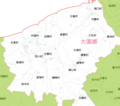
English: Maps of villages in Taoyuan. Note: "Village" is an administrative division, and not to be confused with the definition of a "village" in a clustered human settlement or community.
中文(臺灣):桃園市各里地圖
Subcategories
This category has only the following subcategory.
Media in category "Maps of villages in Taoyuan"
The following 11 files are in this category, out of 11 total.
-
Longtan map.png 1,098 × 965; 226 KB
-
Longtan map2.png 1,090 × 984; 393 KB
-
Map02-cg001.png 1,613 × 1,423; 657 KB
-
Map02-cg002.png 729 × 732; 209 KB
-
Map02-cg003.png 800 × 669; 183 KB
-
Map02-cg004.png 1,100 × 696; 216 KB
-
Map02-cg005.png 800 × 473; 141 KB
-
Map02-cg007.png 800 × 708; 135 KB
-
Map02-cg008.png 800 × 908; 170 KB
-
Pingzhen Map.png 643 × 826; 86 KB
-
SinwuMap.png 1,057 × 555; 29 KB


