Category:Maps of the metropolitan city of Rome
Jump to navigation
Jump to search
Subcategories
This category has the following 5 subcategories, out of 5 total.
A
M
- Maps of Marino (13 F)
Media in category "Maps of the metropolitan city of Rome"
The following 12 files are in this category, out of 12 total.
-
Mapa de Roma en la Provincia de Roma.gif 471 × 525; 41 KB
-
"Ducatus Braccianus olim Sabatiae Regio" (21631503454).jpg 4,116 × 3,018; 2.13 MB
-
Aqua virgo planlatium.jpg 2,734 × 2,099; 2.64 MB
-
Castelli Romani comuni + velletri e lariano.png 2,560 × 1,945; 474 KB
-
Lago di Bracciano-mappa del 1886.jpg 2,734 × 2,099; 5.58 MB
-
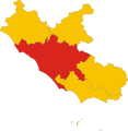
Map of Metropolitan city of Rome (region Lazio, Italy).svg 3,287 × 3,357; 76 KB
-
Rom Umgebung.jpg 1,853 × 1,420; 2.65 MB
-
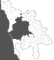
Roma e comuni della provincia.PNG 300 × 228; 80 KB
-
Roma in Italy.svg 1,034 × 1,299; 3 MB
-
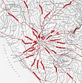
Römerstraßen rund um Rom (nach Droysen).jpg 1,310 × 1,330; 1.69 MB
-
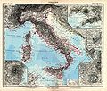
Stielers Handatlas 1891 22.jpg 5,050 × 4,300; 6.56 MB
-
Vermicino (Locator Map).png 800 × 610; 88 KB


