Category:Maps of the Ross Dependency
Jump to navigation
Jump to search
Subcategories
This category has the following 2 subcategories, out of 2 total.
Media in category "Maps of the Ross Dependency"
The following 20 files are in this category, out of 20 total.
-
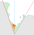
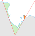
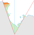
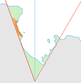
Amundsen Coast map.png 562 × 575; 50 KB
-
AN -Edward VII peninsula.png 500 × 500; 12 KB
-
Antarctica, New Zealand territorial claim.svg 806 × 806; 63 KB
-
Antarktyda-Dependencja Rossa.png 1,967 × 1,505; 80 KB
-
Balleny Map.jpg 377 × 465; 17 KB
-
C78198s1 Ant.Map Mount Harmsworth.jpg 3,849 × 3,252; 1.69 MB
-
C84165s1 Ant.Map Shackleton Glacier.jpg 5,288 × 3,752; 5.44 MB
-
Dufek Coast map.png 562 × 575; 52 KB
-
Gould Coast map.png 562 × 575; 47 KB
-
Hillary Coast map.png 562 × 575; 46 KB
-
King Edward VII Land map.png 562 × 575; 46 KB
-
Map of the Borchgrevink Coast in the Ross Dependency.png 562 × 575; 49 KB
-
Pennell Coast map.png 562 × 575; 50 KB
-
Physical Map of New Zealand Antarctic Zone.PNG 487 × 673; 44 KB
-
Political Map of New Zealand Antarctic Zone.PNG 487 × 673; 24 KB
-
Ross Dependency Basic Map.png 511 × 537; 29 KB
-
Ross Dependency stub map.png 287 × 331; 19 KB
-
Scott Coast map.png 562 × 575; 49 KB
-
Shackleton Coast map.png 562 × 575; 48 KB


