Category:Maps of old administrative divisions of India by User:Milenioscuro
Jump to navigation
Jump to search
Media in category "Maps of old administrative divisions of India by User:Milenioscuro"
The following 27 files are in this category, out of 27 total.
-
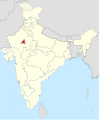 Ajmer in India (1951).svg 980 × 1,182; 199 KB
-
 Assam in India (1951).svg 980 × 1,182; 200 KB
-
 Bhopal in India (1951).svg 980 × 1,182; 199 KB
-
 Bihar in India (1951).svg 980 × 1,182; 200 KB
-
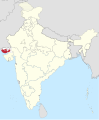
 Bilaspur in India (1951).svg 980 × 1,182; 200 KB
-
 Bombay in India (1951).svg 980 × 1,182; 200 KB
-
 Coorg in India (1951).svg 980 × 1,182; 200 KB
-
 Delhi in India (1951).svg 980 × 1,182; 200 KB
-
 East Punjab in India (1951).svg 980 × 1,182; 200 KB
-
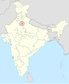
 Himachal Pradesh in India (1951).svg 980 × 1,182; 200 KB
-
 Hyderabad in India (1951).svg 980 × 1,182; 200 KB
-
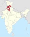
 Jammu and Kashmir in India (1951).svg 980 × 1,182; 200 KB
-
 Kutch in India (1951).svg 980 × 1,182; 200 KB
-
 Madhya Bharat in India (1951).svg 980 × 1,182; 200 KB
-
 Madhya Pradesh in India (1951).svg 980 × 1,182; 200 KB
-
 Madras in India (1951).svg 980 × 1,182; 200 KB
-
 Manipur in India (1951).svg 980 × 1,182; 200 KB
-
 Mysore in India (1951).svg 980 × 1,182; 200 KB
-
 Orissa in India (1951).svg 980 × 1,182; 200 KB
-
 PEPSU in India (1951).svg 980 × 1,182; 200 KB
-
 Rajasthan in India (1951).svg 980 × 1,182; 200 KB
-
 Saurashtra in India (1951).svg 980 × 1,182; 200 KB
-
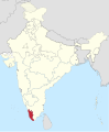 Travancore-Cochin in India (1951).svg 980 × 1,182; 200 KB
-
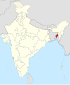 Tripura in India (1951).svg 980 × 1,182; 200 KB
-
 Uttar Pradesh in India (1951).svg 980 × 1,182; 200 KB
-
 Vindhya Pradesh in India (1951).svg 980 × 1,182; 200 KB
-
 West Bengal in India (1951).svg 980 × 1,182; 200 KB
.svg)
.svg)
.svg)
.svg)
.svg)
.svg)
.svg)
.svg)
.svg)
.svg)
.svg)
.svg)
.svg)
.svg)
.svg)
.svg)
.svg)
.svg)
.svg)
.svg)
.svg)
.svg)
.svg)
.svg)
.svg)
.svg)
.svg)