Category:Maps of municipalities in the district of Schwyz
Jump to navigation
Jump to search
Subcategories
This category has the following 2 subcategories, out of 2 total.
Media in category "Maps of municipalities in the district of Schwyz"
The following 16 files are in this category, out of 16 total.
-
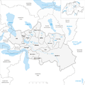
Karte Gemeinden des Bezirks Schwyz 2007.png 1,476 × 1,463; 618 KB
-
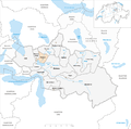
Karte Gemeinde Alpthal 2007.png 1,476 × 1,463; 622 KB
-
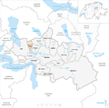
Karte Gemeinde Arth 2007.png 1,476 × 1,463; 622 KB
-
Karte Gemeinde Illgau 2007.png 1,476 × 1,463; 622 KB
-
Karte Gemeinde Ingenbohl 2007.png 1,476 × 1,463; 622 KB
-
Karte Gemeinde Lauerz 2007.png 1,476 × 1,463; 622 KB
-
Karte Gemeinde Morschach 2007.png 1,476 × 1,463; 622 KB
-
Karte Gemeinde Muotathal 2007.png 1,476 × 1,463; 624 KB
-
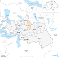
Karte Gemeinde Oberiberg 2007.png 1,476 × 1,463; 623 KB
-
Karte Gemeinde Riemenstalden 2007.png 1,476 × 1,463; 622 KB
-
Karte Gemeinde Rothenthurm 2007.png 1,476 × 1,463; 622 KB
-
Karte Gemeinde Sattel 2007.png 1,476 × 1,463; 622 KB
-
Karte Gemeinde Schwyz 2007.png 1,476 × 1,463; 623 KB
-
Karte Gemeinde Steinen 2007.png 1,476 × 1,463; 622 KB
-
Karte Gemeinde Steinerberg 2007.png 1,476 × 1,463; 622 KB
-
Karte Gemeinde Unteriberg 2007.png 1,476 × 1,463; 623 KB


