Category:Maps of municipalities in the district of Lausanne
Jump to navigation
Jump to search
Media in category "Maps of municipalities in the district of Lausanne"
The following 15 files are in this category, out of 15 total.
-
 Carte communes du district de Lausanne 2008.png 1,476 × 1,443; 379 KB
-
 Karte Gemeinden des Bezirks Lausanne 2008.png 1,476 × 1,443; 456 KB
-
 Carte commune Cheseaux-sur-Lausanne 2008.png 1,476 × 1,443; 374 KB
-
 Karte Gemeinde Cheseaux-sur-Lausanne 2008.png 1,476 × 1,443; 457 KB
-
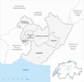
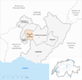
 Carte commune Epalinges 2008.png 1,476 × 1,443; 381 KB
-
 Karte Gemeinde Epalinges 2008.png 1,476 × 1,443; 457 KB
-
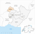
 Carte commune Jouxtens-Mézery 2008.png 1,476 × 1,443; 374 KB
-
 Karte Gemeinde Jouxtens-Mézery 2008.png 1,476 × 1,443; 457 KB
-
 Carte commune Lausanne 2008.png 1,476 × 1,443; 375 KB
-
 Karte Gemeinde Lausanne 2008.png 1,476 × 1,443; 460 KB
-
 Carte commune Le Mont-sur-Lausanne 2008.png 1,476 × 1,443; 374 KB
-
 Karte Gemeinde Le Mont-sur-Lausanne 2008.png 1,476 × 1,443; 457 KB
-
 Plan ville de Lausanne.jpg 1,109 × 888; 407 KB
-
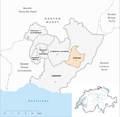
 Carte commune Romanel-sur-Lausanne 2008.png 1,476 × 1,443; 374 KB
-
 Karte Gemeinde Romanel-sur-Lausanne 2008.png 1,476 × 1,443; 457 KB


