Category:Maps of civil parishes in Lancashire
Jump to navigation
Jump to search
Media in category "Maps of civil parishes in Lancashire"
The following 22 files are in this category, out of 22 total.
-
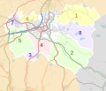
Blackburn with Darwen parishes map.svg 1,099 × 1,305; 2.54 MB
-
Borough of Burnley parishes map.svg 1,425 × 1,223; 1.72 MB
-
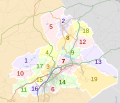
Borough of Chorley parishes map.svg 1,425 × 1,212; 3.32 MB
-
Borough of Fylde parishes map.svg 1,425 × 1,176; 2.4 MB
-
Borough of Hyndburn parishes map.svg 1,319 × 1,305; 1.97 MB
-
Borough of Pendle parishes map.svg 1,425 × 1,214; 1.63 MB
-
Borough of Ribble Valley parishes map.svg 1,327 × 1,305; 5 MB
-
Borough of Rossendale parishes map.svg 1,385 × 1,306; 2.46 MB
-
Borough of South Ribble parishes map.svg 1,425 × 1,038; 3.62 MB
-
Borough of West Lancashire parishes map.svg 1,173 × 1,306; 5.25 MB
-
Borough of Wyre parishes map.svg 1,425 × 981; 2.98 MB
-
City of Lancaster parishes map 2018.svg 1,164 × 1,305; 3.23 MB
-
City of Lancaster parishes map.svg 1,164 × 1,305; 3.45 MB
-
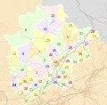
City of Preston parishes 2012 map.svg 1,187 × 1,305; 2.63 MB
-
City of Preston parishes map without labels.svg 1,187 × 1,305; 2.62 MB
-
City of Preston parishes map.svg 1,187 × 1,305; 2.62 MB
-
City of Preston parishes, wards and divisions map.svg 1,187 × 1,305; 2.97 MB
-
Lancashire Administrative Map 1832.png 2,405 × 3,385; 1.34 MB
-
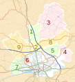
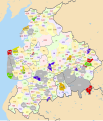
Lancashire parish map.svg 1,116 × 1,305; 2.57 MB
-
Lancashire parishes map.svg 1,116 × 1,305; 2.75 MB
-
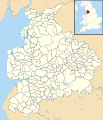
Lancashire UK parish map (blank).svg 1,116 × 1,305; 2.45 MB
-
Preston parishes.png 671 × 717; 131 KB

