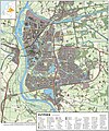
Category:Maps of Zutphen
Jump to navigation
Jump to search
Wikimedia category | |||||
| Upload media | |||||
| Instance of | |||||
|---|---|---|---|---|---|
| Category combines topics | |||||
| Zutphen | |||||
city in Zutphen, Netherlands | |||||
| Spoken text audio | |||||
| Pronunciation audio | |||||
| Instance of |
| ||||
| Location | Zutphen, Gelderland, Netherlands | ||||
| Located in or next to body of water | |||||
| Population |
| ||||
| Area |
| ||||
| Elevation above sea level |
| ||||
| Different from | |||||
| official website | |||||
 | |||||
Subcategories
This category has the following 3 subcategories, out of 3 total.
O
W
- Maps of Warnsveld (2 F)
Media in category "Maps of Zutphen"
The following 16 files are in this category, out of 16 total.
-
2013-Zutphen.jpg 2,543 × 1,867; 2.5 MB
-
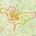
BAG woonplaatsen - Gemeente Zutphen.png 2,419 × 2,419; 827 KB
-
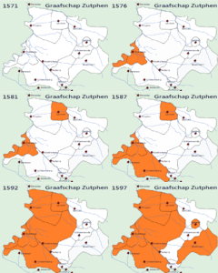
Demonstration gif graafschap zutphen during the 80 years of war.gif 716 × 599; 1.09 MB
-
Gem-Zutphen-2014Q1.jpg 4,893 × 3,620; 6.23 MB
-
Gem-Zutphen-OpenTopo.jpg 4,644 × 3,389; 1.9 MB
-
Grens Bisdom Munster in de Achterhoek voor 1152.png 890 × 608; 1.36 MB
-
Grens terborg - doetinchem.png 1,018 × 563; 1.12 MB
-
LocatieWarnsveld.png 280 × 140; 9 KB
-
LocatieZutphen.png 280 × 140; 9 KB
-
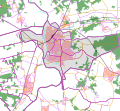
Map - NL - Zutphen (2009).svg 625 × 575; 1.18 MB
-
NL - locator map municipality code GM0301 (2016).png 2,125 × 1,417; 532 KB
-
Overzicht fasen.JPG 1,246 × 1,000; 634 KB
-
Zutphen-centrum-OpenTopo.jpg 4,292 × 5,264; 6.77 MB
-
Zutphen-plaats-OpenTopo.jpg 2,006 × 2,032; 2.14 MB
-
Zutphen-stad-2014Q1.jpg 2,006 × 1,951; 1.97 MB
-
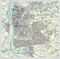
Zutphen-topografie.jpg 1,464 × 1,763; 1.64 MB


