Category:Maps of Vicenza
Jump to navigation
Jump to search
Wikimedia category | |||||
| Upload media | |||||
| Instance of | |||||
|---|---|---|---|---|---|
| Category combines topics | |||||
| Vicenza | |||||
municipality of Northern Italy | |||||
| Pronunciation audio | |||||
| Instance of | |||||
| Part of | |||||
| Location | Province of Vicenza, Veneto, Italy | ||||
| Headquarters location | |||||
| Population |
| ||||
| Area |
| ||||
| Elevation above sea level |
| ||||
| official website | |||||
 | |||||
Subcategories
This category has the following 4 subcategories, out of 4 total.
O
P
Media in category "Maps of Vicenza"
The following 17 files are in this category, out of 17 total.
-
14 Vicenza.png 2,185 × 2,965; 542 KB
-
Borgo Berga suburbano (Vallardi).jpg 1,183 × 1,149; 1.8 MB
-
Borgo Padova e Casale (Vallardi).jpg 1,008 × 975; 1.21 MB
-
Borgo San Felice (Vallardi).jpg 1,337 × 1,216; 1.58 MB
-
Borgo Santa Croce (Vallardi).jpg 899 × 909; 1.08 MB
-
Ca' Impenta-1.jpg 1,152 × 1,361; 595 KB
-
Circoscrizioni e quartieri.png 2,550 × 3,300; 736 KB
-
Fiumi medio veneto.svg 1,050 × 600; 964 KB
-
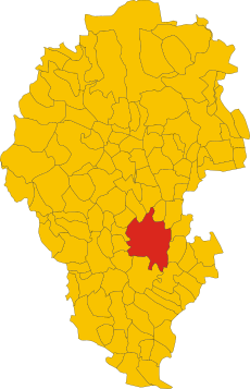
Map of comune of Vicenza (province of Vicenza, region Veneto, Italy).svg 2,691 × 4,175; 124 KB
-
Mappa dei sentieri di Monteviale.jpg 3,072 × 3,450; 2.11 MB
-
Pianta P.P. Centro storico-1.jpg 784 × 851; 1.19 MB
-
Provincia vicenza blank.svg 2,691 × 4,175; 173 KB
-
Rete tranviaria di Vicenza.JPG 989 × 566; 150 KB
-
Trasporti a Vicenza 2030.svg 1,000 × 800; 1.24 MB
-
Vicenza mappa.jpg 429 × 591; 25 KB
-
Vicenza-2008.gif 2,200 × 1,550; 93 KB
-
Atlas ou Representation du Monde Universel t. 2. 1633 (110102426).jpg 17,107 × 11,959; 33.38 MB


