Category:Maps of Shropshire
Jump to navigation
Jump to search
Wikimedia category | |||||
| Upload media | |||||
| Instance of | |||||
|---|---|---|---|---|---|
| Category combines topics | |||||
| Shropshire | |||||
ceremonial county in the United Kingdom | |||||
| Instance of | |||||
| Location |
| ||||
| Capital | |||||
| Population |
| ||||
| Area |
| ||||
| Different from | |||||
| Said to be the same as | Shropshire (historic county of England, ceremonial county of England, 1844) | ||||
| official website | |||||
 | |||||
Subcategories
This category has the following 6 subcategories, out of 6 total.
Media in category "Maps of Shropshire"
The following 36 files are in this category, out of 36 total.
-
Culvestan1086.png 666 × 666; 124 KB
-
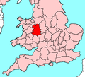
EnglandShropshire.png 200 × 247; 22 KB
-
EnglandShropshire.svg 200 × 247; 232 KB
-
Halesowen exclave of Shropshire.png 896 × 1,273; 1.67 MB
-
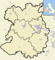
Shropshire Hundreds.svg 1,282 × 1,135; 982 KB
-
Map - Seats of the Le Strange family in Shropshire.svg 549 × 596; 2.92 MB
-
New Shropshire Ceremonial Numbered.png 200 × 224; 4 KB
-
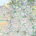
Ordnance Survey 1-250000 - SJ.jpg 4,000 × 4,000; 9.38 MB
-
Ordnance Survey 1-250000 - SO.jpg 4,000 × 4,000; 9.7 MB
-
Patton hundred 1086.png 666 × 666; 125 KB
-
ShrewsburyWards.jpg 1,088 × 684; 270 KB
-
Shrop.svg 1,129 × 1,385; 107 KB
-
Shropshire - British Isles.svg 1,250 × 1,835; 1,024 KB
-
Shropshire Brit Isles Sect 5.svg 809 × 743; 939 KB
-
Shropshire Brit Isles Sect 6.svg 545 × 593; 938 KB
-
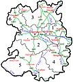
Shropshire Ceremonial Numbered.png 200 × 224; 5 KB
-
Shropshire Munslow hundred.png 1,198 × 1,305; 189 KB
-
Shropshire numbered districts.svg 1,046 × 1,192; 249 KB
-
Shropshire OswestryRD 1971.png 589 × 551; 69 KB
-
Shropshire outline map with UK (2009).png 504 × 549; 141 KB
-
Shropshire outline map with UK.png 504 × 549; 165 KB
-
Shropshire UK constituency map (blank).svg 1,198 × 1,305; 1.02 MB
-
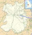
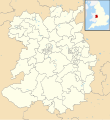
Shropshire UK location map.svg 1,198 × 1,305; 2.13 MB
-
Shropshire UK locator map 2010.svg 1,108 × 1,345; 302 KB
-
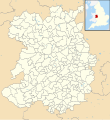
Shropshire UK parish map (blank).svg 1,198 × 1,305; 2.75 MB
-
Shropshire UK relief location map.jpg 2,004 × 2,285; 581 KB
-
Shropshire UK ward map (blank).svg 1,198 × 1,305; 1.9 MB
-
Shropshire1832 Map.png 2,600 × 2,325; 905 KB
-
ShropshireBrit5.PNG 625 × 569; 26 KB
-
ShropshireCountyMap.jpg 750 × 840; 384 KB
-
ShropshireCountyMap2009.jpg 750 × 840; 376 KB
-
ShropshireHillsAONBMap.jpg 519 × 585; 169 KB
-
ShropshireNumbered.png 200 × 226; 18 KB
-
ShropshireParish OswestryRural2011.png 584 × 612; 126 KB
-
TelfordBUA2011.png 604 × 850; 693 KB
-
West Mercia UK PCC election 2024.svg 508 × 658; 677 KB


