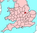
Category:Maps of Rutland
Jump to navigation
Jump to search
Wikimedia category | |||||
| Upload media | |||||
| Instance of | |||||
|---|---|---|---|---|---|
| Category combines topics | |||||
| Rutland | |||||
county and unitary authority area in the East Midlands in England, United Kingdom | |||||
| Instance of |
| ||||
| Location | East Midlands, England | ||||
| Legislative body |
| ||||
| Population |
| ||||
| Area |
| ||||
| Different from | |||||
| Said to be the same as | Rutland (historic county of England, ceremonial county of England, 1844) | ||||
| official website | |||||
 | |||||
Subcategories
This category has the following 5 subcategories, out of 5 total.
Media in category "Maps of Rutland"
The following 21 files are in this category, out of 21 total.
-
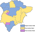
2019 Rutland County Council election.svg 1,635 × 1,392; 1.19 MB
-
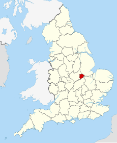
EnglandRutland.png 200 × 247; 26 KB
-
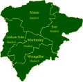
Rutland Hundreds.svg 1,000 × 987; 192 KB
-
Leicestershire & Rutland.png 200 × 247; 25 KB
-
Leicestershire Map.png 615 × 500; 15 KB
-
Leicestershire UK PCC election 2024.svg 785 × 651; 379 KB
-
Ordnance Survey 1-250000 - SK.jpg 4,000 × 4,000; 9.31 MB
-
Ordnance Survey 1-250000 - SP.jpg 4,000 × 4,000; 9.22 MB
-
Rutla.svg 1,129 × 1,385; 107 KB
-
Rutland - British Isles.svg 1,250 × 1,835; 1,024 KB
-
Rutland 2018 Boundaries.svg 1,294 × 1,172; 1.14 MB
-
Rutland Brit Isles Sect 5.svg 809 × 743; 939 KB
-
Rutland hundreds.pdf 1,241 × 1,754; 14 KB
-
Rutland outline map with UK.png 800 × 558; 235 KB
-
Rutland UK district map (blank).svg 1,425 × 1,140; 564 KB
-
Rutland UK location map.svg 1,425 × 1,140; 856 KB
-
Rutland UK locator map 2010.svg 1,108 × 1,345; 302 KB
-
Rutland UK parish map (blank).svg 1,425 × 1,140; 936 KB
-
Rutland UK relief location map.jpg 1,999 × 1,600; 248 KB
-
Rutland UK ward map (blank).svg 1,425 × 1,140; 745 KB
-
RutlandBrit5.PNG 625 × 569; 26 KB

