Category:Maps of Rockland County, New York (style A)
Jump to navigation
Jump to search
Media in category "Maps of Rockland County, New York (style A)"
The following 25 files are in this category, out of 25 total.
-
 Map of Rockland County.png 726 × 916; 39 KB
-
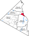
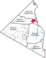
 Town of Clarkstown, Rockland County.png 726 × 916; 37 KB
-
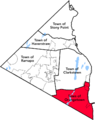
 Town of Haverstraw, Rockland County.png 726 × 916; 37 KB
-
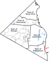
 Town of Orangetown, Rockland County.png 726 × 916; 37 KB
-
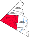 Town of Ramapo, Rockland County.png 726 × 916; 37 KB
-
 Town of Stony Point, Rockland County.png 726 × 916; 37 KB
-
 Village of Airmont, Rockland County.png 726 × 916; 37 KB
-
 Village of Chestnut Ridge, Rockland County.png 726 × 916; 37 KB
-
 Village of Grand View-on-Hudson, Rockland County.png 734 × 916; 37 KB
-
 Village of Haverstraw, Rockland County.png 726 × 916; 37 KB
-
 Village of Hillburn, Rockland County.png 726 × 916; 37 KB
-
 Village of Kaser, Rockland County.png 726 × 916; 37 KB
-
 Village of Montebello, Rockland County.png 726 × 916; 37 KB
-
 Village of New Hempstead, Rockland County.png 726 × 916; 37 KB
-
 Village of New Square, Rockland County.png 726 × 916; 37 KB
-
 Village of Nyack, Rockland County.png 726 × 916; 37 KB
-
 Village of Piermont, Rockland County.png 726 × 916; 37 KB
-
 Village of Pomona, Rockland County.png 726 × 916; 37 KB
-
 Village of Sloatsburg, Rockland County.png 726 × 916; 37 KB
-
 Village of South Nyack, Rockland County.png 726 × 916; 37 KB
-
 Village of Spring Valley, Rockland County.png 726 × 916; 37 KB
-
 Village of Suffern, Rockland County.png 726 × 916; 37 KB
-
 Village of Upper Nyack, Rockland County.png 726 × 916; 37 KB
-
 Village of Wesley Hills, Rockland County.png 726 × 916; 37 KB
-
 Village of West Haverstraw, Rockland County.png 726 × 916; 37 KB


