Category:Maps of Paris 4e arrondissement
Jump to navigation
Jump to search
|
Paris 1 • 2 • 3 • 4 • 5 • 6 • 7 • 8 • 9 • 10 • 11 • 12 • 13 • 14 • 15 • 16 • 17 • 18 • 19 • 20 |
Wikimedia category | |||||
| Upload media | |||||
| Instance of | |||||
|---|---|---|---|---|---|
| Category combines topics | |||||
| 4th arrondissement of Paris | |||||
one of the 20 administrative districts of Paris, France | |||||
| Instance of |
| ||||
| Location |
| ||||
| Located in or next to body of water | |||||
| Head of government |
| ||||
| Inception |
| ||||
| Population |
| ||||
| Area |
| ||||
| Replaces | |||||
| official website | |||||
 | |||||
Subcategories
This category has the following 6 subcategories, out of 6 total.
I
M
Media in category "Maps of Paris 4e arrondissement"
The following 14 files are in this category, out of 14 total.
-
4th arrondissement of Paris - OSM 2020.svg 1,542 × 1,516; 1.04 MB
-
Inscription Plan Cour Île Louviers - Paris IV (FR75) - 2022-06-02 - 1.jpg 3,024 × 4,032; 4.6 MB
-
Inscription Plan Cour Île Louviers - Paris IV (FR75) - 2022-06-02 - 2.jpg 4,032 × 3,024; 5.9 MB
-
Map commune FR insee code 75104.png 756 × 605; 75 KB
-
Map of the 4th arrondissement of Paris - OSM 2020.svg 1,542 × 1,516; 1.06 MB
-
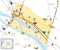
Metro & rer 4e arrondissement.jpg 520 × 480; 189 KB
-
Metro 4to arrondissement.png 1,400 × 1,164; 339 KB
-
Paris 4e arr jms.gif 850 × 700; 239 KB
-
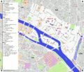
Paris 4th arrondissement map with listings 2.png 3,460 × 3,008; 1.24 MB
-
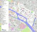
Paris 4th arrondissement map with listings.png 3,460 × 3,008; 994 KB
-
Paris 4th arrondissement map with listings.svg 512 × 445; 3.35 MB
-
Paris 4th.png 1,200 × 989; 176 KB
-
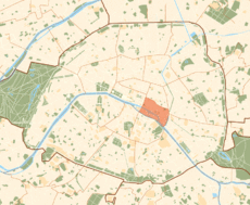
Paris orange & beige 75004.svg 512 × 329; 27 KB
-
Relief des quartiers du centre-est de Paris vers 1820.png 546 × 444; 136 KB


