Category:Maps of Nakhon Pathom Province
Jump to navigation
Jump to search
Subcategories
This category has only the following subcategory.
E
Media in category "Maps of Nakhon Pathom Province"
The following 23 files are in this category, out of 23 total.
-
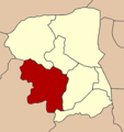
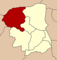
Amphoe 7301.png 276 × 293; 9 KB
-
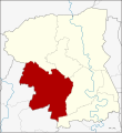
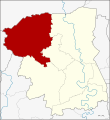
Amphoe 7301.svg 1,594 × 1,733; 169 KB
-
Amphoe 7302.png 276 × 293; 9 KB
-
Amphoe 7302.svg 1,594 × 1,733; 168 KB
-
Amphoe 7303.png 276 × 293; 9 KB
-
Amphoe 7303.svg 1,594 × 1,733; 165 KB
-
Amphoe 7304.png 276 × 293; 9 KB
-
Amphoe 7304.svg 1,594 × 1,733; 169 KB
-
Amphoe 7305.png 276 × 293; 9 KB
-
Amphoe 7305.svg 1,594 × 1,733; 167 KB
-
Amphoe 7306.png 276 × 293; 9 KB
-
Amphoe 7306.svg 1,594 × 1,733; 167 KB
-
Amphoe 7307.png 276 × 293; 9 KB
-
Amphoe 7307.svg 1,594 × 1,733; 157 KB
-
Amphoe Nakhon Pathom.png 400 × 420; 17 KB
-
Amphoe Nakhon Pathom.svg 1,594 × 1,733; 163 KB
-
Districts Nakhon Pathom.png 1,594 × 1,733; 322 KB
-
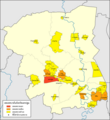
Municipal Areas in Nakhon Pathom Province EN.png 1,595 × 1,733; 467 KB
-
Municipal Areas in Nakhon Pathom Province TH.png 1,595 × 1,733; 456 KB
-
Nakhon Pathom PESA.svg 1,594 × 1,733; 181 KB
-
Thailand Nakhon Pathom location map.svg 1,594 × 1,733; 145 KB
-
Thailand Nakhon Pathom locator map.svg 1,052 × 1,849; 1.24 MB
-
Thailand Nakhon Pathom.png 178 × 300; 14 KB
