Category:Maps of Mpumalanga
Jump to navigation
Jump to search
Provinces of South Africa: Eastern Cape · Free State · Gauteng · KwaZulu-Natal · Limpopo · Mpumalanga · Northern Cape · North West · Western Cape
Wikimedia category | |||||
| Upload media | |||||
| Instance of | |||||
|---|---|---|---|---|---|
| Category combines topics | |||||
| Mpumalanga | |||||
province of South Africa | |||||
| Pronunciation audio | |||||
| Instance of | |||||
| Location | Transvaal region | ||||
| Capital | |||||
| Legislative body |
| ||||
| Executive body |
| ||||
| Head of government |
| ||||
| Inception |
| ||||
| Population |
| ||||
| Area |
| ||||
| Elevation above sea level |
| ||||
| Replaces | |||||
| official website | |||||
 | |||||
Subcategories
This category has the following 4 subcategories, out of 4 total.
E
L
T
Media in category "Maps of Mpumalanga"
The following 28 files are in this category, out of 28 total.
-
Blank map of Mpumalanga (2006).svg 683 × 732; 1.05 MB
-
Blank map of Mpumalanga (2011).svg 683 × 732; 274 KB
-
Blank map of Mpumalanga (2016).svg 683 × 732; 345 KB
-
Bulleropmars.jpeg 3,244 × 3,556; 2.16 MB
-
Map of Mpumalanga with municipalities blank (2006).svg 768 × 746; 912 KB
-
Map-South Africa-Mpumalanga Escarpment.png 800 × 717; 156 KB
-
Map-South Africa-Mpumalanga Escarpment.svg 744 × 1,052; 110 KB
-
Map-to-Londolozi-scaled-e1608291953212-788x779.jpg 788 × 779; 68 KB
-
Mpumalanga 2001 dominant language map.svg 1,015 × 986; 1.14 MB
-
Mpumalanga 2001 dominant population group map.svg 1,015 × 986; 928 KB
-
Mpumalanga 2001 population density map.svg 1,015 × 986; 2.04 MB
-
Mpumalanga 2011 population density map.svg 1,015 × 986; 906 KB
-
Mpumalanga.png 570 × 538; 38 KB
-
Natal province - descriptive guide and official hand-book (1911) (14574073508).jpg 4,016 × 2,760; 1.8 MB
-
Sabi Sand map.jpg 2,362 × 2,940; 1.32 MB
-
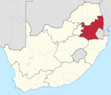
South Africa Mpumalanga location map.svg 1,031 × 1,067; 175 KB
-
South Africa Mpumalanga relief location map.svg 1,031 × 1,067; 2.26 MB
-
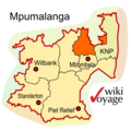
ZA-MP-cosm-country.png 352 × 352; 51 KB
-
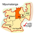
ZA-MP-cultural-heartlands.png 352 × 352; 51 KB
-
ZA-MP-grass-wetlands.png 352 × 352; 51 KB
-
ZA-MP-highlands-meander.png 352 × 352; 52 KB
-
ZA-MP-lowveld-lego.png 352 × 352; 52 KB
-
ZA-MP-map.png 352 × 352; 52 KB
-
ZA-MP-map.svg 350 × 350; 47 KB
-
ZA-MP-panorama.png 352 × 352; 52 KB
-
ZA-MP-wildfrontier.png 352 × 352; 52 KB


