Category:Maps of Libourne (Gironde)
Jump to navigation
Jump to search
Subcategories
This category has the following 4 subcategories, out of 4 total.
Media in category "Maps of Libourne (Gironde)"
The following 10 files are in this category, out of 10 total.
-
 33243-Libourne-Routes-Hydro.png 3,507 × 2,480; 4.94 MB
-
 33243-Libourne-Sols.png 3,270 × 2,598; 4.79 MB
-
 33243-Libourne-ZNIEFF2.png 5,866 × 4,133; 13.25 MB
-
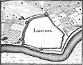 Libourne 1656 Zeiller 15218.jpg 2,360 × 1,854; 2.8 MB
-
 Libourne Limite communale.jpg 947 × 574; 192 KB
-
 Libourne OSM 01.png 525 × 548; 229 KB
-
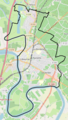
 Libourne OSM 02.png 398 × 687; 274 KB
-
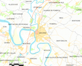
 Libourne OSM 03.png 395 × 696; 176 KB
-
 Libourne-dot.png 302 × 306; 24 KB
-
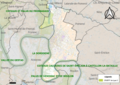
 Map commune FR insee code 33243.png 756 × 605; 84 KB


