Category:Maps of Kreis Siegen-Wittgenstein
Jump to navigation
Jump to search
Wikimedia category | |||||
| Upload media | |||||
| Instance of | |||||
|---|---|---|---|---|---|
| Category combines topics | |||||
| Siegen-Wittgenstein | |||||
district in North Rhine-Westphalia, Germany | |||||
| Instance of | |||||
| Location | Arnsberg Government Region, North Rhine-Westphalia, Germany | ||||
| Capital | |||||
| Head of government | |||||
| Headquarters location | |||||
| Inception |
| ||||
| Population |
| ||||
| Area |
| ||||
| Elevation above sea level |
| ||||
| official website | |||||
 | |||||
Subcategories
This category has the following 2 subcategories, out of 2 total.
Media in category "Maps of Kreis Siegen-Wittgenstein"
The following 42 files are in this category, out of 42 total.
-
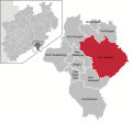
Amt Berleburg in BLB.svg 712 × 556; 470 KB
-
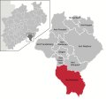
Amt Burbach in SI.svg 720 × 674; 687 KB
-
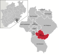
Amt Eiserfeld in SI.svg 720 × 674; 687 KB
-
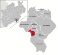
Amt Erndtebrück in BLB.svg 712 × 556; 470 KB
-
Amt Ferndorf in SI.svg 720 × 674; 687 KB
-
Amt Freudenberg in SI.svg 720 × 674; 687 KB
-
Amt Keppel in SI.svg 720 × 674; 687 KB
-
Amt Laasphe in BLB.svg 712 × 556; 470 KB
-
Amt Netphen in SI.svg 720 × 674; 687 KB
-
Amt Weidenau in SI.svg 720 × 674; 687 KB
-
Amt Wilnsdorf in SI.svg 720 × 674; 687 KB
-
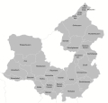
Amtsgliederung Berleburg.svg 751 × 719; 217 KB
-
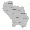
Amtsgliederung Burbach.svg 469 × 465; 220 KB
-
Amtsgliederung Eiserfeld.svg 199 × 193; 55 KB
-
Amtsgliederung Erndtebrück.svg 357 × 420; 89 KB
-
Amtsgliederung Ferndorf.svg 335 × 404; 174 KB
-
Amtsgliederung Freudenberg.svg 351 × 383; 251 KB
-
Amtsgliederung Keppel.svg 453 × 277; 182 KB
-
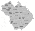
Amtsgliederung Laasphe.svg 409 × 396; 113 KB
-
Amtsgliederung Netphen.svg 577 × 509; 494 KB
-
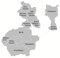
Amtsgliederung Neunkirchen.svg 318 × 253; 63 KB
-
Amtsgliederung Niederdresselndorf.svg 194 × 240; 44 KB
-
Amtsgliederung Weidenau.svg 326 × 308; 150 KB
-
Amtsgliederung Wilnsdorf.svg 350 × 274; 122 KB
-
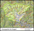
Einzugsgebietskarte Kappel.png 1,512 × 1,409; 3.58 MB
-
Einzugsgebietskarte Roespe.png 1,619 × 2,090; 5.88 MB
-
Freudenberg Stadtgliederung.png 1,058 × 794; 109 KB
-
Hilchenbach Plan 1772 im Stadtarchiv.jpg 1,300 × 998; 609 KB
-
Hilchenbacher Ortsteile.png 785 × 475; 70 KB
-
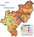
Kreis Siegen-Wittgenstein Physische Karte.svg 1,189 × 1,280; 308 KB
-
Kreuztaler Ortsteile.png 774 × 982; 104 KB
-
Naturraumkarte Kuehhuder Rothaar.png 2,626 × 2,698; 13.49 MB
-
Naturraumkarte Ruesper Rothaar.png 2,604 × 3,181; 15.74 MB
-
Naturraumkarte Ziegenhelle.png 2,706 × 1,958; 9.89 MB
-
Netphen Ortsteile.png 721 × 644; 103 KB
-
North rhine w SI.svg 660 × 660; 221 KB
-
North rhine w sw grey.png 593 × 585; 70 KB
-
Siegen in Siegen-Wittgenstein.png 1,696 × 1,684; 294 KB
-
Siegen-Wittgenstein Gliederung.png 1,696 × 1,684; 283 KB
-
Stadtgliederung Hilchenbach.png 1,301 × 837; 342 KB
-
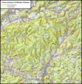
Topographische Karte Siegen-Wittgenstein.jpg 2,222 × 2,242; 656 KB
-
VBinSWF geschaeftsgebietkarte.jpg 1,722 × 2,668; 653 KB


