Category:Maps of Kitakyushu
Jump to navigation
Jump to search
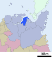
English: Maps of Kitakyushu city, Fukuoka, Japan.
日本語: 福岡県北九州市の地図
Subcategories
This category has the following 2 subcategories, out of 2 total.
M
Media in category "Maps of Kitakyushu"
The following 16 files are in this category, out of 16 total.
-
Fukuoka-Kitakyushu.svg 100 × 100; 165 KB
-
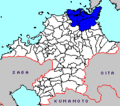
Kitakyushu all map.png 209 × 185; 4 KB
-
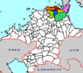
Kitakyushu city.png 209 × 185; 4 KB
-
Kitakyushu map circa 1930.PNG 1,101 × 821; 653 KB
-
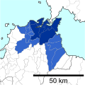
Kitakyushu Metropolitan Employment Area.svg 301 × 300; 77 KB
-
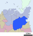
Kitakyūshū wards.png 516 × 516; 66 KB
-
Map of Japan with highlight on Kitakyushu city.svg 1,024 × 1,024; 15 KB
-
Northeastern Kitakyushu map circa 1930.PNG 933 × 1,722; 1.17 MB
-
Northwestern Kitakyushu map circa 1930.PNG 1,725 × 1,210; 1.39 MB
-
Wards of Kitakyushu Ja.svg 1,080 × 1,080; 18 KB

