
Category:Maps of Aurelian Walls (Rome)

Media in category "Maps of Aurelian Walls (Rome)"
The following 15 files are in this category, out of 15 total.
-
 Plan of Rome in the Middle Ages - Historical Atlas by William R. Shepherd, 1923.jpg 1,016 × 1,063; 498 KB
-
 Karte Rom unter Augustus MKL1888-Gates.JPG 713 × 549; 166 KB
-
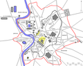 Muraurelien planrome.png 1,128 × 900; 83 KB
-
 Plan Rome- Aureliaanse Muur.png 1,128 × 900; 249 KB
-
 Platner - Ancient Rome city growth.jpg 750 × 729; 134 KB
-
 Roma Plan.jpg 1,840 × 1,463; 2.5 MB
-
 Roma PlanFXD.jpg 1,840 × 1,463; 1.06 MB
-
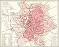
 Topography and Monuments of Ancient Rome (Menke).jpg 2,268 × 1,559; 1 MB
-
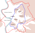
 Walls of Rome 6th century.png 1,200 × 853; 174 KB
-
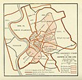
 Aureliaplan.jpg 656 × 445; 80 KB
-
 Map of ancient Rome sr.svg 1,481 × 1,424; 40 KB
-
 Map of ancient Rome.svg 1,481 × 1,424; 40 KB
-
 Muraurelien planrome2.png 1,814 × 1,361; 591 KB
-
 Walls of Rome 6th century (cropped).png 1,157 × 819; 215 KB
-
 Geschichte Roms und der Papste im Mittelalter 1898 (143025940).jpg 3,024 × 4,348; 10.81 MB


.jpg)


.png)
.jpg)