Category:Maps of Ångermanland
Jump to navigation
Jump to search
Wikimedia category | |||||
| Upload media | |||||
| Instance of | |||||
|---|---|---|---|---|---|
| Category combines topics | |||||
| Ångermanland | |||||
province in Sweden | |||||
| Pronunciation audio | |||||
| Instance of | |||||
| Part of | |||||
| Named after | |||||
| Location | |||||
| Population |
| ||||
| Area |
| ||||
 | |||||
Media in category "Maps of Ångermanland"
The following 21 files are in this category, out of 21 total.
-
Angermanland 100.png 1,168 × 826; 1.86 MB
-
Boteå tingslag.jpg 886 × 1,024; 112 KB
-
Fjällsjö tingslag.jpg 886 × 1,024; 111 KB
-
Gundmundrå tingslag.jpg 886 × 1,024; 112 KB
-
Karta över Ångermanland, från 1700-talet - Skoklosters slott - 98063.tif 3,744 × 4,840; 51.86 MB
-
Karta-till-info-tavla.jpg 1,300 × 911; 143 KB
-
FC-Ångermanland, Sweden.png 166 × 363; 4 KB
-
Nora tingslag.jpg 886 × 1,024; 112 KB
-
Nordingrå tingslag.jpg 886 × 1,024; 112 KB
-
Nordmalings och Bjurholms tingslag.jpg 1,260 × 1,156; 128 KB
-
Nätra tingslag.jpg 886 × 1,024; 111 KB
-
Ramsele och Resele tingslag.jpg 886 × 1,024; 111 KB
-
Själevads och Arnäs tingslag.jpg 886 × 1,024; 111 KB
-
Sollefteå tingslag.jpg 886 × 1,024; 112 KB
-
Svpmap ngermanland.png 275 × 400; 17 KB
-
Säbrå tingslag.jpg 886 × 1,024; 112 KB
-
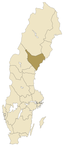
Ångermanland.svg 290 × 660; 69 KB
-
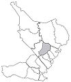
Ångermanlands mellersta tingslag.jpg 886 × 1,024; 111 KB
-
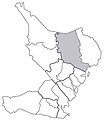
Ångermanlands norra tingslag.jpg 886 × 1,024; 110 KB
-
Ångermanlands södra tingslag.jpg 886 × 1,024; 110 KB
-
Ångermanlands västra tingslag.jpg 886 × 1,024; 110 KB


