Category:Maps created in 2018
Jump to navigation
Jump to search
Media in category "Maps created in 2018"
The following 18 files are in this category, out of 18 total.
-
Countries by GNI (nominal) per capita in 2018.png 6,218 × 3,248; 2.06 MB
-
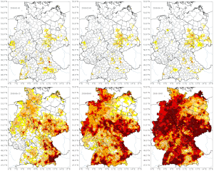
Dürre 2018 Gesamtboden Deutschland.gif 663 × 795; 3.35 MB
-
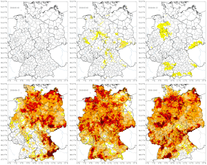
Dürre 2018 Oberboden Deutschland.gif 663 × 795; 3.33 MB
-
Examining magistrate.jpg 688 × 599; 39 KB
-
Global Temperature Anomaly - slower-1000.gif 1,280 × 720; 19.74 MB
-
Global Temperature Anomaly - slower-200.gif 1,280 × 720; 19.75 MB
-
Global Temperature Anomaly - slower-2000.gif 1,280 × 720; 19.74 MB
-
Global Temperature Anomaly - slower-300.gif 1,280 × 720; 19.75 MB
-
Global Temperature Anomaly - slower-400.gif 1,280 × 720; 19.75 MB
-
Global Temperature Anomaly - slower-500.gif 1,280 × 720; 19.74 MB
-
Global Temperature Anomaly Kelvin.gif 1,280 × 720; 20.1 MB
-
Global Temperature Anomaly.gif 1,280 × 720; 19.77 MB
-
Global temperature changes.webm 37 s, 3,840 × 2,160; 60.66 MB
-
NZL orthographic NaturalEarth labelled en.svg 553 × 553; 734 KB


