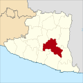
Category:Maps Kabupaten Gunungkidul
Jump to navigation
Jump to search
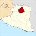
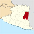
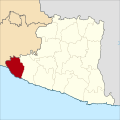
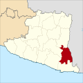
Diese Kategorie enthält Karten der indonesischen Kecamatan des Kabupaten Gunungkidul in der Sonderregion (DIY) Yogyakarta, basierend auf der Kartenvorlage von User Mandamaruta. Sie ist im Aufbau befindlich und kann Änderungen unterliegen.
Media in category "Maps Kabupaten Gunungkidul"
The following 18 files are in this category, out of 18 total.
-
Gedangsari Gunungkidul.svg 1,250 × 1,250; 1.11 MB
-
Girisubo Gunungkidul.svg 1,250 × 1,250; 1.11 MB
-
Karangmojo Gunungkidul.svg 1,250 × 1,250; 1.11 MB
-
Ngawen Gunungkidul.svg 1,250 × 1,250; 1.11 MB
-
Nglipar Gunungkidul.svg 1,250 × 1,250; 1.11 MB
-
Paliyan Gunungkidul.svg 1,250 × 1,250; 1.11 MB
-
Panggang Gunungkidul.svg 1,250 × 1,250; 1.11 MB
-
Patuk Gunungkidul.svg 1,250 × 1,250; 1.11 MB
-
Playen Gunungkidul.svg 1,250 × 1,250; 1.11 MB
-
Ponjong Gunungkidul.svg 1,250 × 1,250; 1.11 MB
-
Purwosari Gunungkidul.svg 1,250 × 1,250; 1.11 MB
-
Rongkop Gunungkidul.svg 1,250 × 1,250; 1.11 MB
-
Saptosari Gunungkidul.svg 1,250 × 1,250; 1.11 MB
-
Semanu Gunungkidul.svg 1,250 × 1,250; 1.11 MB
-
Semin Gunungkidul.svg 1,250 × 1,250; 1.11 MB
-
Tanjungsari Gunungkidul.svg 1,250 × 1,250; 1.11 MB
-
Tepus Gunungkidul.svg 1,250 × 1,250; 1.11 MB
-
Wonosari Gunungkidul.svg 1,250 × 1,250; 1.11 MB


