Category:Locator maps of villages in Tainan
Jump to navigation
Jump to search
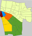
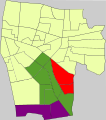
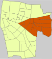
English: Locator maps of villages in Tainan. Note: "Village" is an administrative division, and not to be confused with the definition of a "village" in a clustered human settlement or community.
中文(臺灣):臺南市各里位置圖
Subcategories
This category has the following 4 subcategories, out of 4 total.
Media in category "Locator maps of villages in Tainan"
The following 10 files are in this category, out of 10 total.
-
台南市七股區西寮里.svg 1,063 × 709; 209 KB
-
台南市七股區鹽埕里.svg 1,063 × 709; 101 KB
-
臺南市七股區篤加里.svg 2,213 × 2,341; 85 KB
-
臺南市中西區開山里.svg 790 × 459; 25 KB
-
臺南市東區大學位置圖.svg 2,546 × 2,942; 34 KB
-
臺南市東區德高里01.svg 568 × 641; 35 KB
-
臺南市東區竹篙里01.svg 568 × 641; 35 KB
-
臺南市東區竹篙里02.svg 568 × 641; 35 KB
-
臺南市竹篙厝大字.svg 568 × 641; 35 KB
-
虎尾寮在臺南市東區的大致範圍.svg 568 × 641; 34 KB


