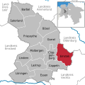
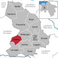
Category:Locator maps of municipalities in Landkreis Cloppenburg
Jump to navigation
Jump to search

Media in category "Locator maps of municipalities in Landkreis Cloppenburg"
The following 14 files are in this category, out of 14 total.
-
Barßel in CLP.svg 1,804 × 1,804; 645 KB
-
Bösel in CLP.svg 1,804 × 1,804; 645 KB
-
Cappeln in CLP.svg 1,804 × 1,804; 645 KB
-
Cloppenburg in CLP.svg 1,804 × 1,804; 645 KB
-
Emstek in CLP.svg 1,804 × 1,804; 645 KB
-
Essen in CLP.svg 1,804 × 1,804; 645 KB
-
Friesoythe in CLP.svg 1,804 × 1,804; 645 KB
-
Garrel in CLP.svg 1,804 × 1,804; 645 KB
-
Lastrup in CLP.svg 1,804 × 1,804; 645 KB
-
Lindern (Oldenburg) in CLP.svg 1,804 × 1,804; 645 KB
-
Löningen in CLP.svg 1,804 × 1,804; 645 KB
-
Molbergen in CLP.svg 1,804 × 1,804; 645 KB
-
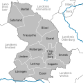
Municipalities in CLP.svg 1,804 × 1,804; 1.27 MB
-
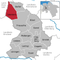
Saterland in CLP.svg 1,804 × 1,804; 645 KB


