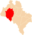
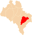
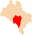
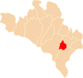
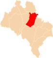
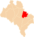
Category:Locator maps of counties of Stanisławów Voivodeship
Jump to navigation
Jump to search
Media in category "Locator maps of counties of Stanisławów Voivodeship"
The following 15 files are in this category, out of 15 total.
-
POL powiat bohorodczański map.svg 750 × 841; 25 KB
-
POL powiat doliński map.svg 750 × 818; 18 KB
-
POL powiat horodeński map.svg 750 × 818; 18 KB
-
POL powiat kałuski map.svg 750 × 818; 18 KB
-
POL powiat kosowski map.svg 750 × 818; 18 KB
-
POL powiat kołomyjski map.svg 750 × 818; 18 KB
-
POL powiat nadwórniański map.svg 750 × 818; 18 KB
-
POL powiat peczeniżyński map.svg 750 × 704; 27 KB
-
POL powiat rohatyński map.svg 750 × 818; 18 KB
-
POL powiat skolski map.svg 750 × 841; 25 KB
-
POL powiat stanisławowski map.svg 750 × 818; 18 KB
-
POL powiat stryjski map.svg 750 × 818; 18 KB
-
POL powiat tłumacki map.svg 750 × 818; 18 KB
-
POL powiat śniatyński map.svg 750 × 818; 18 KB
-
POL powiat żydaczowski map.svg 750 × 818; 18 KB

