Category:Labelled maps of administrative divisions of the United Kingdom
Jump to navigation
Jump to search
Media in category "Labelled maps of administrative divisions of the United Kingdom"
The following 13 files are in this category, out of 13 total.
-
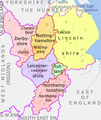
East Midlands counties 00.png 1,723 × 2,047; 295 KB
-
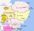
East of England Counties.png 1,593 × 1,440; 1.06 MB
-
North East England counties 2.2.png 842 × 1,100; 70 KB
-
North West England counties.png 1,341 × 2,685; 306 KB
-
Northern Ireland counties + districts.png 1,672 × 1,343; 441 KB
-
Regions of England - labelled.png 1,230 × 1,484; 387 KB
-
Scotland (0 Shetland) council areas.png 2,305 × 2,799; 721 KB
-
Scotland (core) council areas.png 1,420 × 1,153; 265 KB
-
South East England counties.png 2,554 × 2,000; 428 KB
-
South West England counties.png 1,281 × 936; 258 KB
-
Wales counties.png 1,252 × 1,498; 325 KB
-
West Midlands counties.png 1,160 × 1,306; 166 KB
-
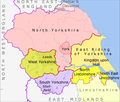
Yorkshire & The Humber counties.png 1,104 × 940; 169 KB


