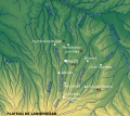
Category:Inondation risk maps of Gers (department)
Jump to navigation
Jump to search
Subcategories
This category has only the following subcategory.
Media in category "Inondation risk maps of Gers (department)"
The following 2 files are in this category, out of 2 total.
-
32-UHR.jpg 5,457 × 3,543; 1,009 KB
-
France Rivers of Gers with 1977 inundation effects.svg 625 × 557; 964 KB

