Category:Geomorphological maps of the United States
Jump to navigation
Jump to search
Subcategories
This category has the following 2 subcategories, out of 2 total.
Media in category "Geomorphological maps of the United States"
The following 43 files are in this category, out of 43 total.
-
Annual report (1872) (18240269019).jpg 3,024 × 1,988; 1.45 MB
-
Appalachian Mountains (Canada and United States).jpg 1,401 × 780; 177 KB
-
Appalachian Mountains of North America.jpg 1,740 × 971; 260 KB
-
Baltimore county (1929) (19730687154).jpg 2,996 × 3,383; 3.46 MB
-
CAgeo.jpg 644 × 764; 72 KB
-
California Geomorphic Provinces.svg 733 × 830; 215 KB
-
Channeled Scablands during flood.jpg 950 × 879; 179 KB
-
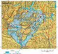
Channeled Scablands on map.jpg 450 × 339; 29 KB
-
Colorado Plateaus map2.jpg 131 × 135; 5 KB
-
Fenneman Physiographic.jpg 2,345 × 1,706; 408 KB
-
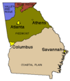
Ga geologic regions.gif 300 × 351; 4 KB
-
Geographic regions ohio.svg 650 × 870; 237 KB
-
Glacial boundary in Ohio 15,000 years BP.jpg 900 × 800; 90 KB
-
Greatvalley-map.png 624 × 637; 66 KB
-
Ken physiograph 02.jpg 944 × 439; 49 KB
-
KYphysiography.jpg 824 × 364; 159 KB
-
KYphysiography.svg 1,099 × 485; 478 KB
-
Kentucky Regions.png 800 × 372; 201 KB
-
KS-PhysiographicDivisions.png 888 × 620; 912 KB
-
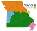
Missouri physiography provinces 1.jpg 890 × 765; 96 KB
-
Nevada playa USGS.png 2,000 × 3,034; 476 KB
-
New Jersey Physiography.png 278 × 699; 47 KB
-
New York Landscape Regions.svg 735 × 536; 487 KB
-
Oso landslide geomorphology map.png 1,139 × 750; 1.66 MB
-
Physiographic regions indiana.svg 515 × 870; 86 KB
-
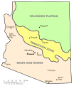
Physiographic regions of Arizona.svg 664 × 768; 229 KB
-
Physiographic regions Washington.svg 640 × 465; 387 KB
-
Puerto Rico geography.gif 698 × 333; 28 KB
-
Red River, Louisiana Deposits1.jpg 5,341 × 6,771; 6.82 MB
-
Robeso2-ellipses.jpg 1,263 × 686; 497 KB
-
Taylor County glacial map.gif 630 × 358; 37 KB
-
Taylor County glaciation.jpg 615 × 647; 68 KB
-
United States Fall Line.jpg 250 × 534; 43 KB
-
US interior physiographic regions map.jpg 298 × 351; 30 KB
-
US physiographic regions map.jpg 597 × 386; 66 KB
-
US west coast physiographic regions map.jpg 221 × 375; 26 KB
-
Virginia painted relief.png 388 × 205; 167 KB
-
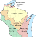
Wisconsin geographic provinces ru.svg 1,015 × 1,041; 214 KB
-
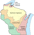
Wisconsin geographic provinces.svg 1,015 × 1,041; 213 KB


